My trip commenced April 4 with a long 9 hour drive from Tucson to the town of Van Horn in West Texas, which sits between 3 National Parks; Big Bend, well to the south, and Guadalupe Mountains and Carlsbad Caverns to the north. The first evening I cracked a tooth while munching on popcorn; I made telephonic arrangements to return to Tucson for the dental work and necessary crown, but because the tooth was not painful, I spent the next 8 days visiting the Parks before the long backtrack drive.
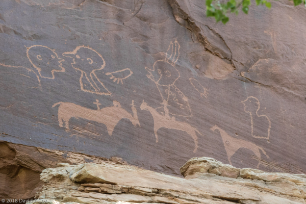
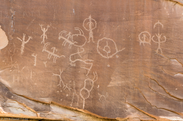
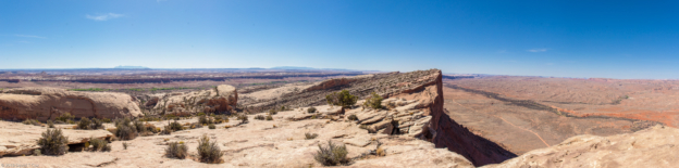
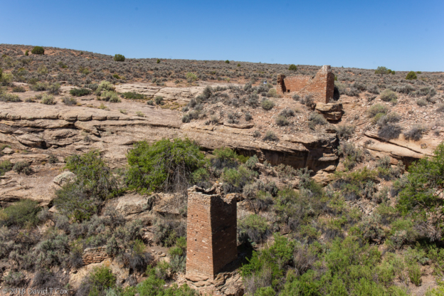
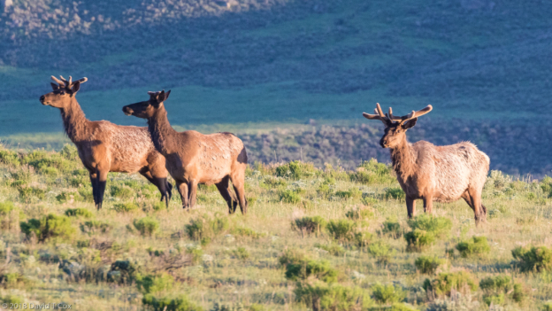
Big Bend National Park comprises a large swath of West Texas which sits within the north-side bowl of a big bend in the Rio Grande River. The entire south-eastern to south-western boundary of the Park, which forms the international border with Mexico, is riparian river basin cutting through very dry desert. Within the bend just north of the river rise the majestic Chisos Mountains, a range of island mountain tops within the desert which provide pine-oak canyon habitat for a large number of animals and birds. For the most part the Park has few to no amenities. I spent the first several days on the far southeastern border of the Park, called Rio Grande Village – there is no village, just campgrounds, but there is a tiny one-room general store, two archaic gas pumps, and 16 RV sites with hookups. The birding was reasonably ok, though I never managed to find the Black Hawks in their nesting trees. I did get some nice photos of a Vermilion Flycatcher, Greater Roadrunner and Golden-fronted Woodpecker. I subsequently moved to the tiny, dusty, but actual village of Terlingua on the western border of the Park, and spent time driving and hiking the Chisos Mountains and visiting the southwestern Rio Grande. Terlingua itself is a ghost town, with a fascinating history extending from the mid-late 19th century through the First World War – it was the site of a major mine for cinnabar, from which mercury is extracted, for use at the time in explosives and munitions. After the war the town died, though today it houses several art galleries and small dining establishments, alongside a wonderful old cemetery.
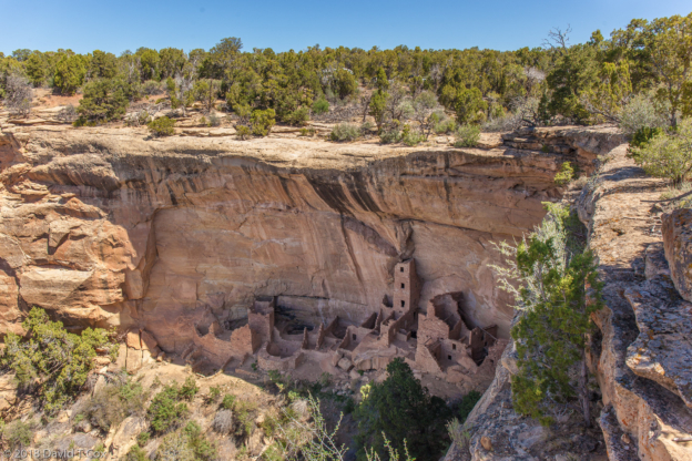
From Big Bend I drove north to the Guadalupe Mountains at the border of New Mexico, a long north-south limestone ridgeline pushed up from the ancient Permian Era sea; Carlsbad Caverns lie just within New Mexico at the northern end of the ridgeline. Guadalupe Mountain NP in Texas has no amenities other than a ranger station – I did three mid-length hikes to various natural springs for birding, and visited one of the rare original Butterfield Stagecoach stations. Two weeks before my arrival Carlsbad Caverns just had lost its elevator service which had been running since 1932. The main chambers of the caverns with outstanding living formations start at 800 feet underground, reached either by elevator or by a huge gaping shaft which runs at more than a 45 degree angle into the earth. Most people take about an hour to walk down the very steep switch-back trails from the natural entrance to reach the depths; the great room and other lower chambers all branch off from the depths. The majority of visitors then return by taking the elevator 800 feet back up directly into the visitor center. Because the elevators were old and too small for today’s crowds (I heard lines were backed up over two hours at the height of last year’s tourist season), two new, larger elevator shafts are under construction and close to completion. However, a few weeks ago some cable system of the old elevators stopped working, and so for a time no elevators were functioning. That meant, of course, if one hiked the 1.3 mile entrance trail down through the natural opening, dropping 800 feet in elevation, one must, after hiking the various chambers, climb the 800 feet back out through the same entrance. It was, therefore, a lovely time to visit, for those fit enough, as the number of visitors making it into the lower chambers was very small. I took a special guided tour into the deeper (1,000ft down) King’s Palace Chamber, as well as circling the 1.2 mile trail around the Great Room almost twice. Most of the caverns still are wet and active, with running and dripping water, and most forms of cave formations are on exhibit. Carlsbad still is as stunning as I recall from visits five decades ago.
I made the long slog back to Tucson on the 12th for the dental work, having to wait in Tucson two weeks for the new crown to be ordered and “installed.” During that period I photographed the fledglings in the Great Horned Owl nest just two blocks from my house, which nest has been occupied every spring for years. May 30 I departed for a second time from Tucson, this time heading directly north to spend my first few days in Dead Horse Ranch State Park along the Verde River, one of my favorite places in Arizona. Now at mid-spring the area is a hot-spot for migrating birds, especially for the little flycatchers and warblers which I find so difficult to identify. I have been able to photograph a couple of new species of tiny flycatchers, the Grey and the Cordilleran, as well as capturing the Ash-throated Flycatcher, Green-tailed Towhee and White-crowned Sparrow. The river sides are busy with dozens of the beautiful Wilson’s Warblers, although I am having a devil of a time getting any decent photos as they never stop moving. Although the area has been parched with no rainfall for months, upon my arrival the clouds built, and It rained all night my second night, then pelted me the next mid-morning with hail before I could reach shelter – rain followed for the duration of the second day. At some point in my recent life I have offended the weather gods.
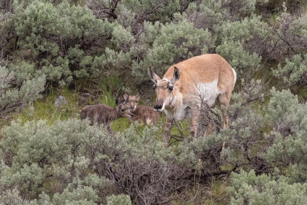
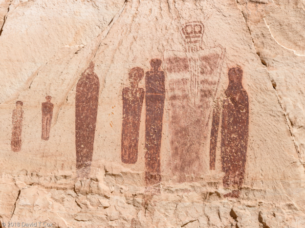
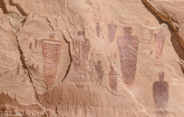
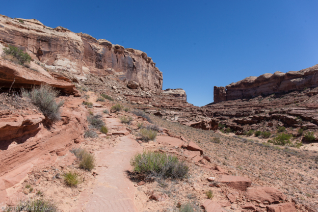
From the Verde Valley I expect I will drive on north towards Bluff on the San Juan River in southern Utah. Later. Dave
-
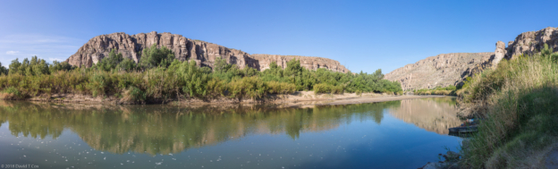
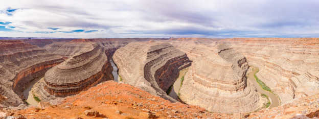
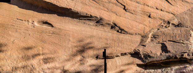
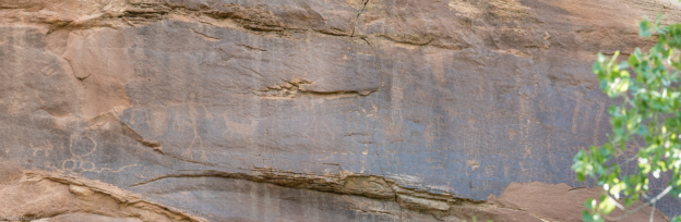
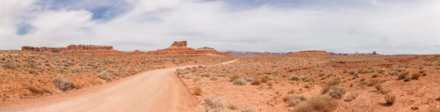
- Rio Grande Pano 2, Rio Grande Village, Big Bend NP, TX
-

- Greater Roadrunner, Rio Grande Village, Big Bend NP, TX
-
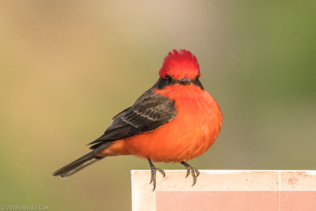
- Vermillion Flycatcher, Daniels Picnic Area, Rio Grande Village, Big Bend NP, TX
-
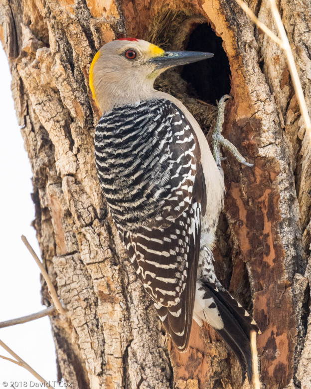
- Golden fronted Woodpecker, Daniels Picnic Area, Rio Grande Village, Big Bend NP, TX
-
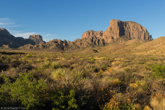
- Chisos Mtns, Big Bend NP, TX
-
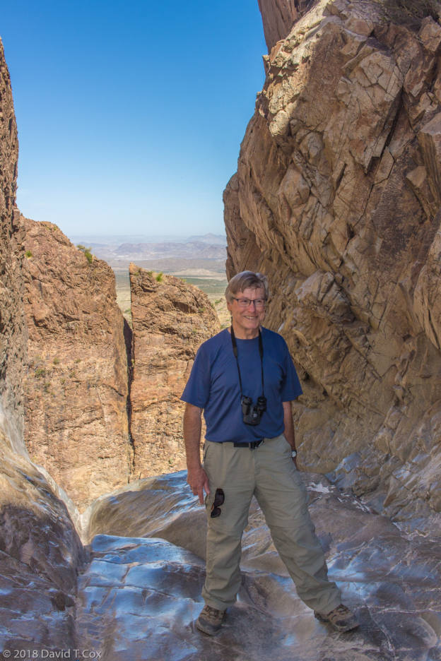
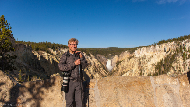
- Dave at Window, Window Trail, Chisos Basin, Big Bend NP, TX
-
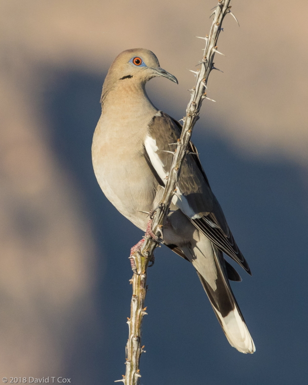
- White-winged Dove, Rd to Elena Canyon, Big Bend NP, TX
-
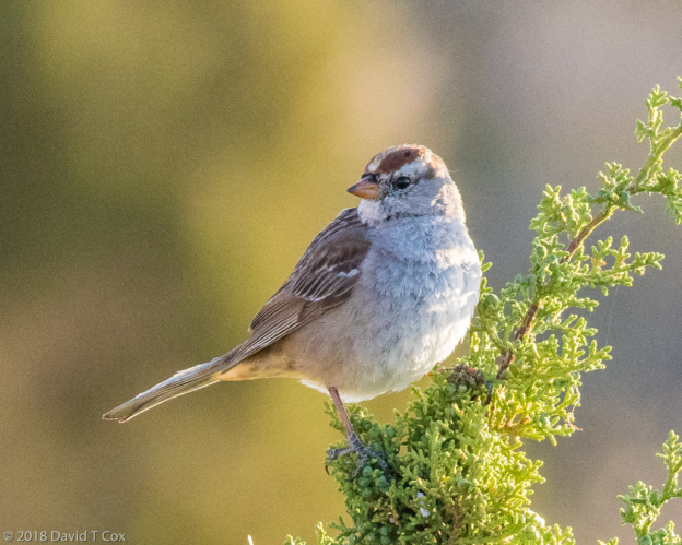
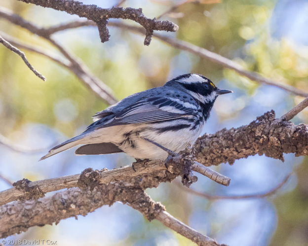
- Chipping Sparrow, Smith Spring Trail, Guadalupe Mtn NP, TX
-
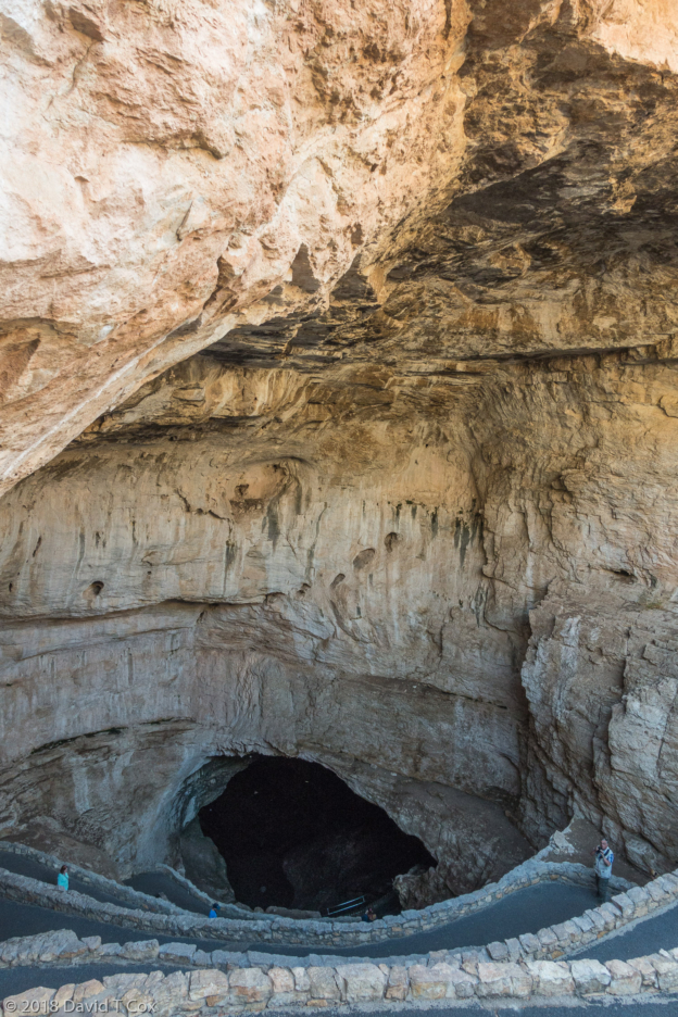
- Descent into Carlsbad Caverns NP, NM
-
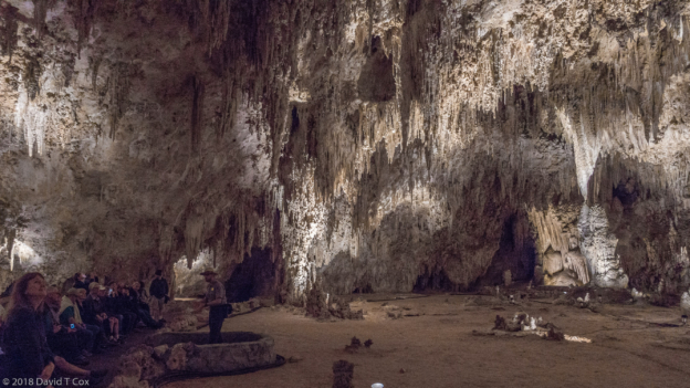
- King’s Palace Lower Chamber, Carlsbad Caverns NP, NM
-
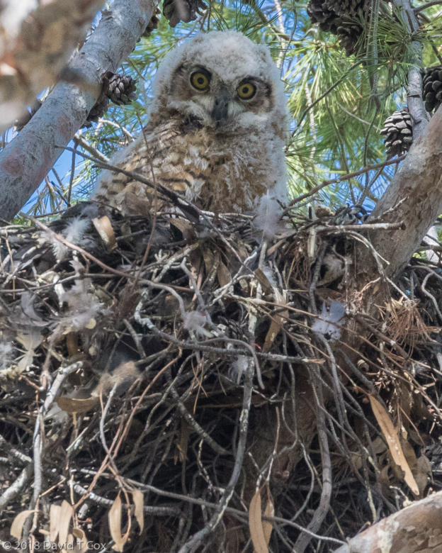
- fledgling Great Horned Owl at nest, Plumer St N of Mabel House, Tucson, AZ
-
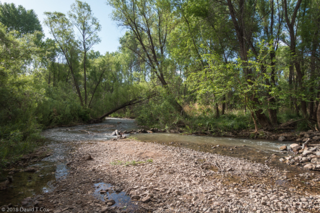
- along Verde River, Dead Horse Ranch St Pk, AZ
-
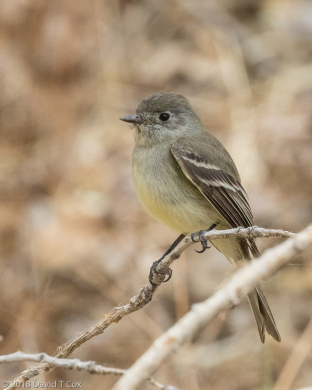
- Cordilleran Flycatcher, Dead Horse Ranch St Pk, Verde River, AZ
-
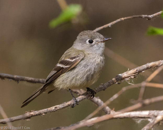
- Grey Flycatcher, Dead Horse Ranch St Pk, Verde River, AZ
-
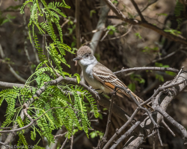
- Ash-thorated Flycatcher, Dead Horse Ranch St Pk, Verde River, AZ
-
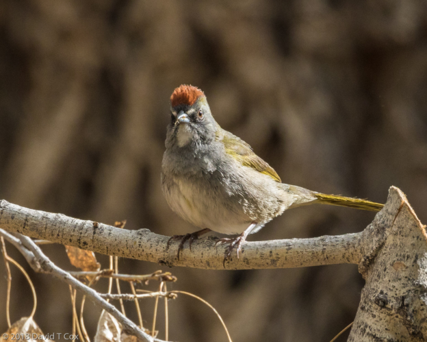
- Green-tailed Towhee, Dead Horse Ranch St Pk, Verde River, AZ
-
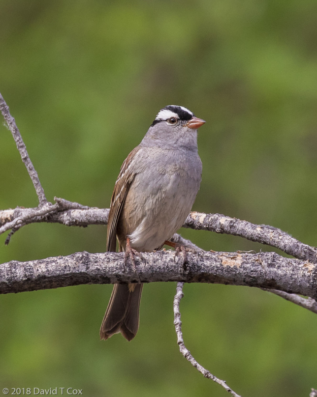
- White-crowned Sparrow, Dead Horse Ranch St Pk, Verde River, AZ