Hello everyone. I last wrote from Thermopolis where I last had internet access. Eleven days ago I drove from there through Cody and up into Yellowstone National Park; it is my first visit back in the Park since the 1960s. Things have changed. Gone are the days of easy black bear sightings along most roads and in all camp areas. The Park Service is very serious now about locking up all food and never feeding any animals. I stayed the first 6 days in the only RV park with electrical hookups, Fishing Bridge. There they do not allow tents, soft-sided campers or pop-up campers. In the primitive sites where such camping is allowed, all food must be stored in on-site steel lockers. For real primitive backpackers, food items must be hung from trees at least 10 foot above ground and 5 foot from the trunk. Serious “no feeding” the animals. Also gone are the days of easy fishing for Yellowstone Cutthroat Trout; since the late 1970s they have become endangered mostly due to the accidental (? intentional ?) introduction of Lake Trout and Rainbow Trout into the streams. Now all fishing must be done with barbless hooks, and all Cutthroat must be released – AND all Lake Trout and Rainbow Trout must be killed.
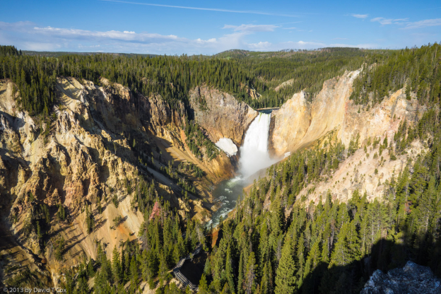
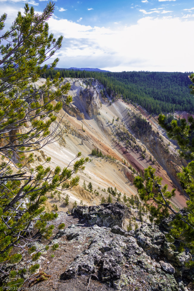
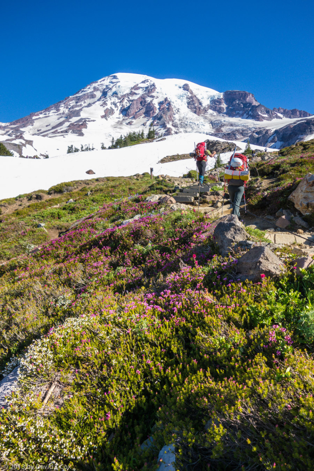
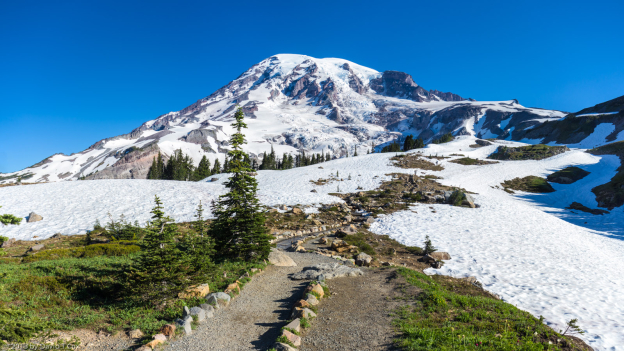
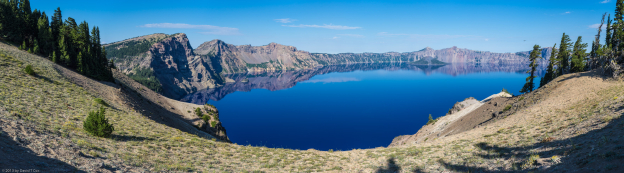
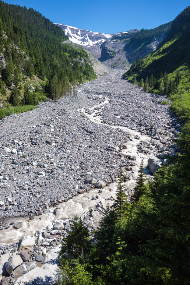
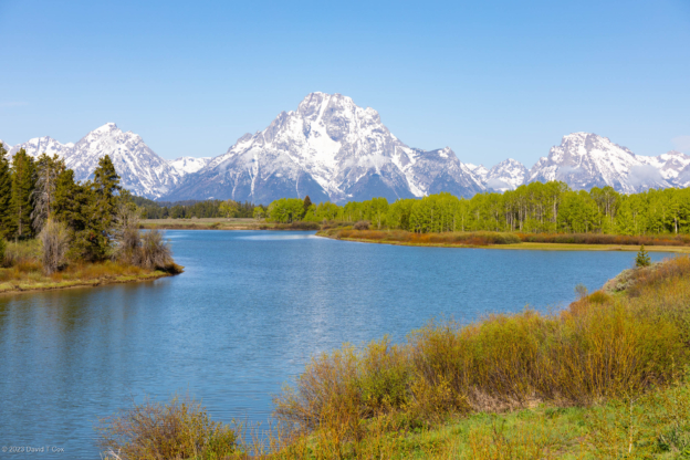
The thermal areas are just as spectacular as ever, as are the high mountain passes and vistas over the high lakes. Yellowstone River still runs from the lake of the same name through Hayden Valley which is teeming with wildlife down on the sage-grass river bottoms; the river then plunges down two waterfalls into the Grand Canyon of the Yellowstone, spectacular as ever.
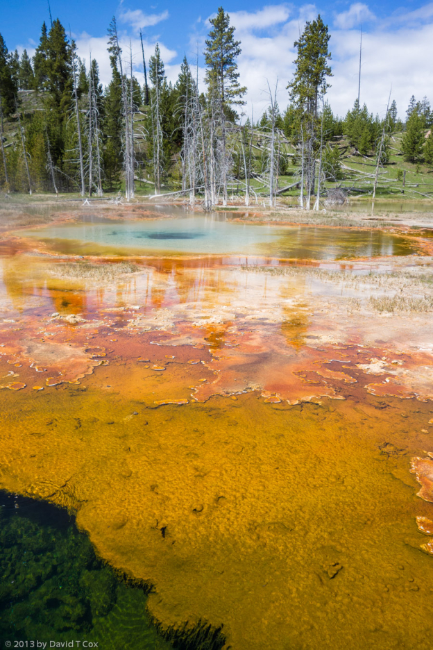
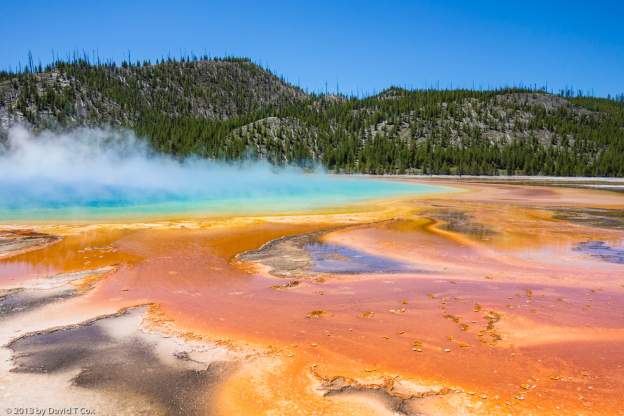
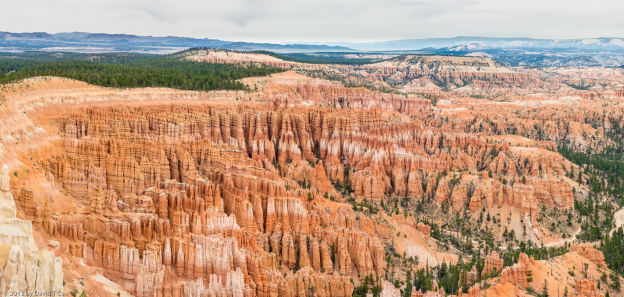
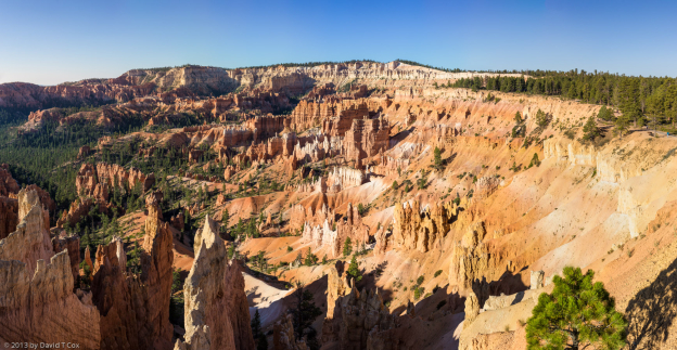
Yellowstone is the largest thermal area in the world, and the only one with all 5 types of thermal phenomena; it has fumaroles (volcanic steam vents) hot springs, mud pots (boiling, bubbling, colorful mud), travertine terraces (so beloved by the ancient Romans for hot steam bathing) and, finally, the largest collection of geysers in the world. Most of the Park sits over one of the largest volcanic calderas in the world (an area where an ancient giant volcano collapsed into its own duct system). It would take days to visit all the thermal basins and features. Most are otherworldly, steamy, with crystal water and a pallet of brilliant colors from sulphur and mineral deposits and bacterial mats. Old Faithful Geyser still erupts about every 90 minutes, with accuracy within 10 minutes for each eruption. I watched it and the Beehive Geyser on two different days. Because so many of the thermal features involve motion (boiling, bubbling, popping, erupting), still photos do not do justice to the action. For the first time I am taking a number of videos in full high definition; unfortunately, they create sufficiently large file sizes I cannot reasonably attach them to emails as I can jpeg photos. I climbed the Observation Hill behind Old Faithful, and was alone on a beautiful day to video the entire eruptions of the Beehive Geyser and Old Faithful Geyser, both erupting within 12 minutes of each other.
I spent almost 2 full days visiting the some 7 different geyser-hot spring basins. Even after miles of walking (mostly along well constructed boardwalks to stay off the delicate and dangerous ground), I doubt whether I actually saw much more than half of the thermal wonders. The huge crystal clear thermal springs with the colorful bacterial mat runoffs, are the prettiest sights, but the boiling churning mud pots are the most sensational, after, of course, a major geyser eruption such as Beehive or Old Faithful. I wish I could attach some of the videos of the thermal holes which would periodically but slowly fill with water, which then would burst up into mini-eruptions with showers of bubbles and great billowing steam. Very definitely otherworldly.
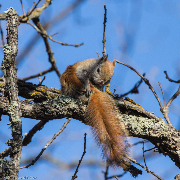
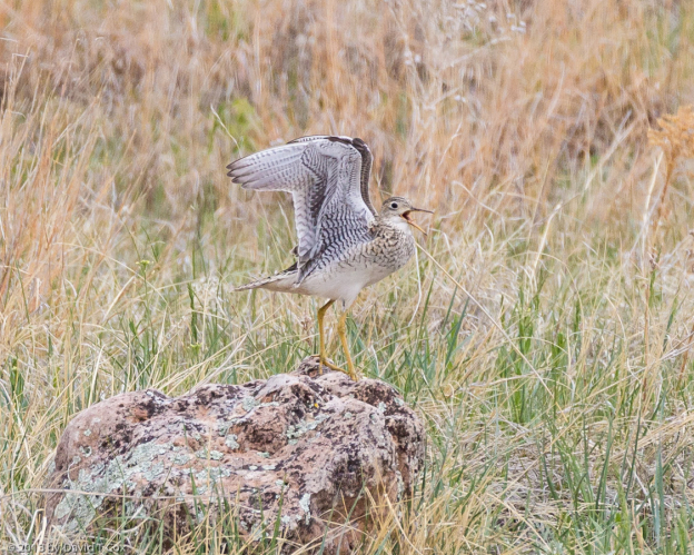
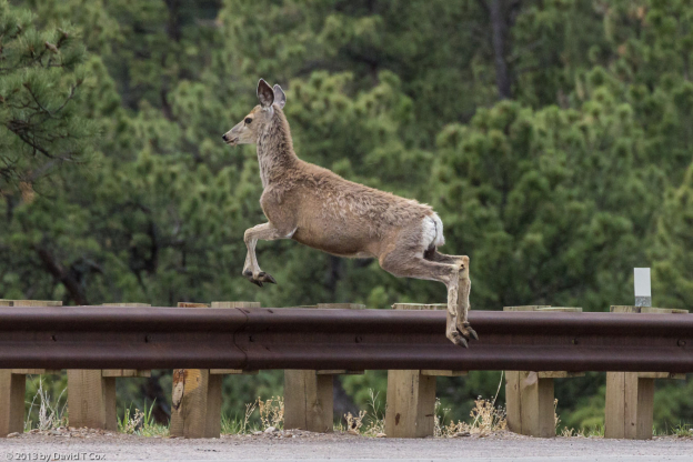
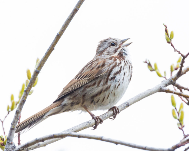
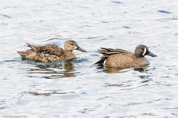
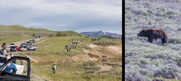
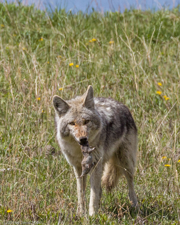
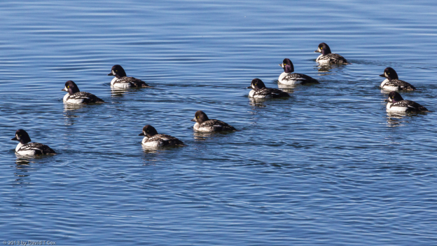
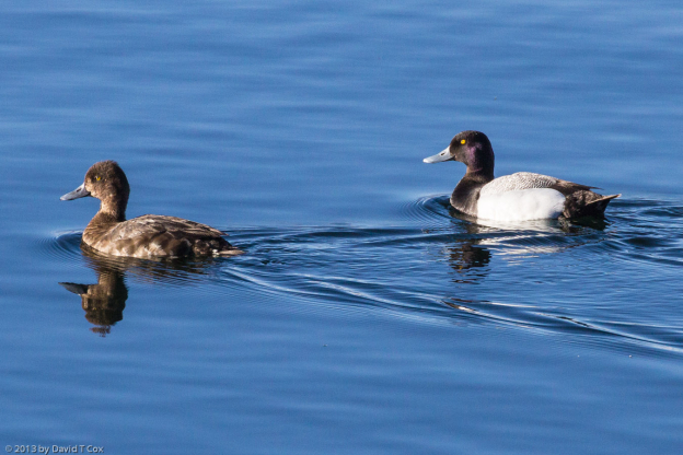
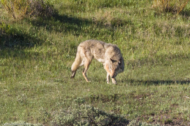
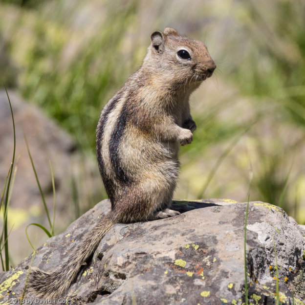
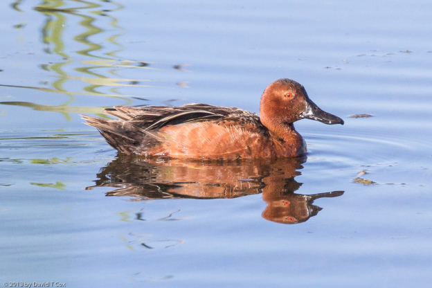
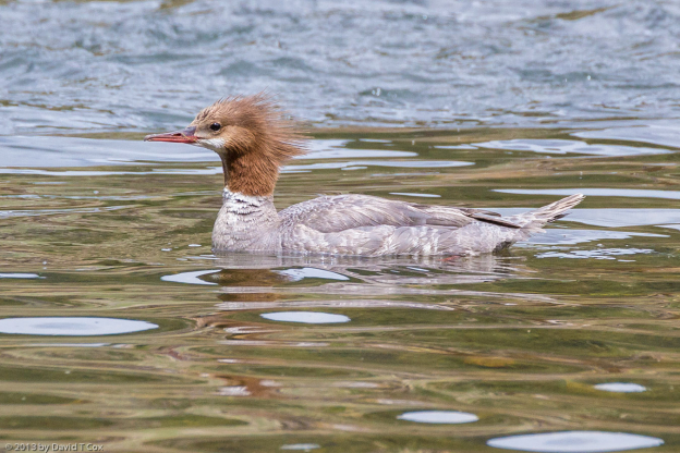
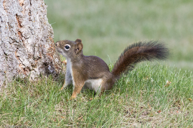
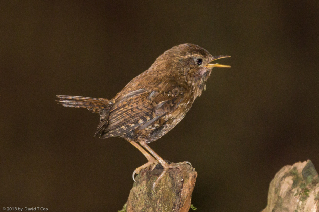
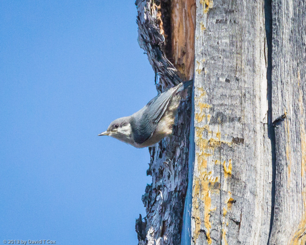
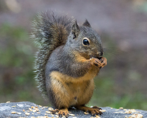
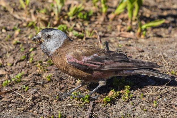
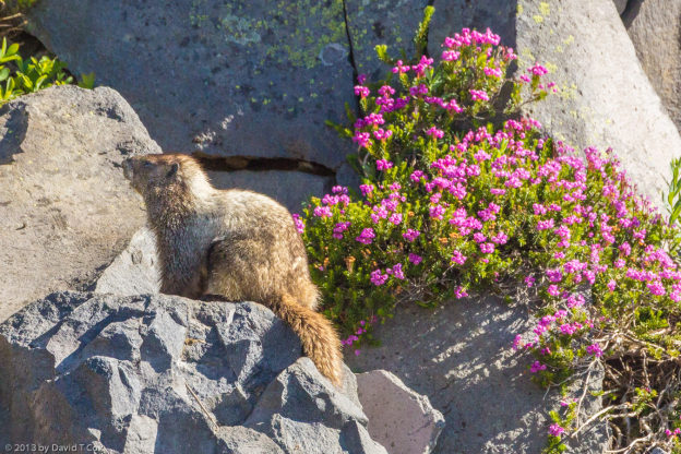
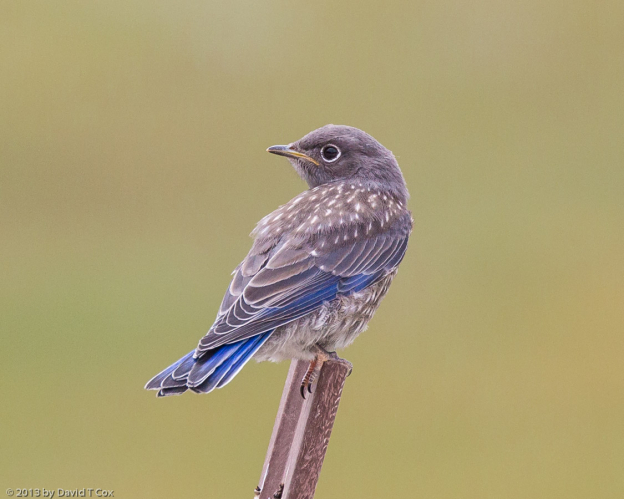
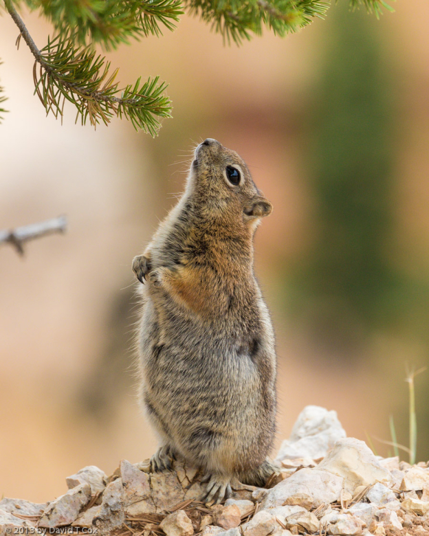
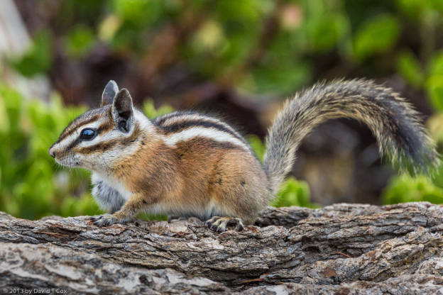
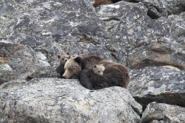
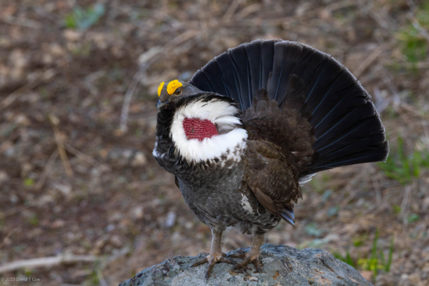
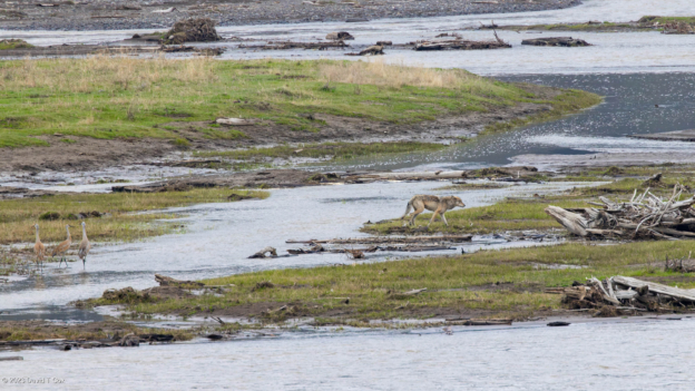
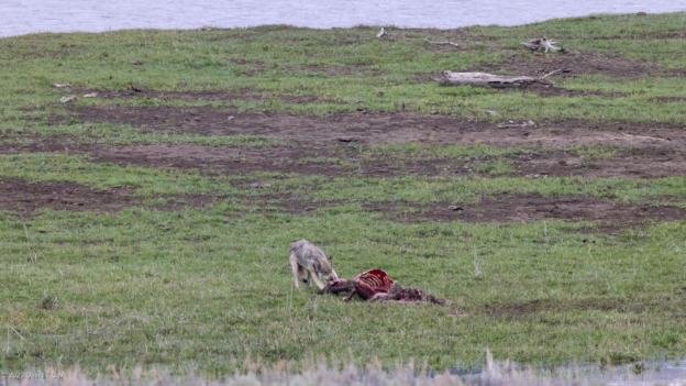
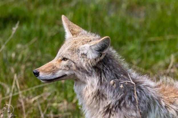
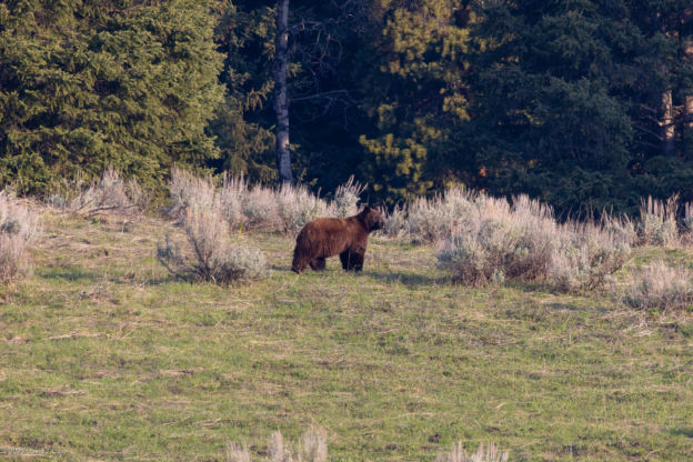
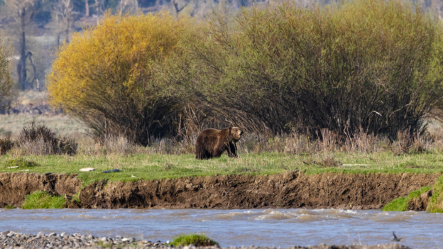
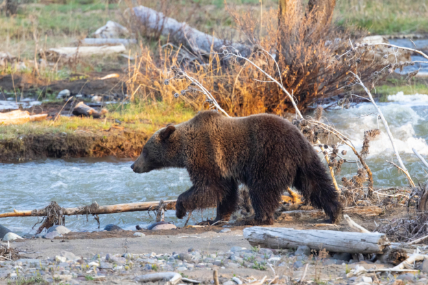
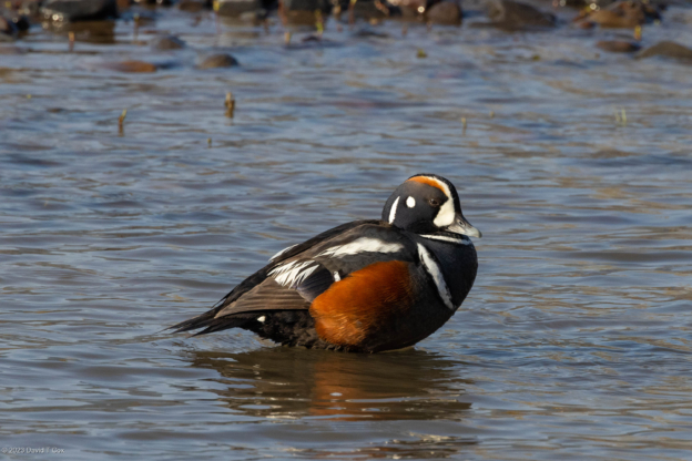
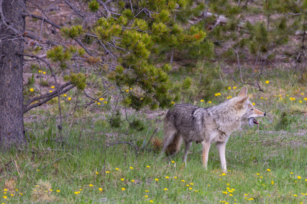
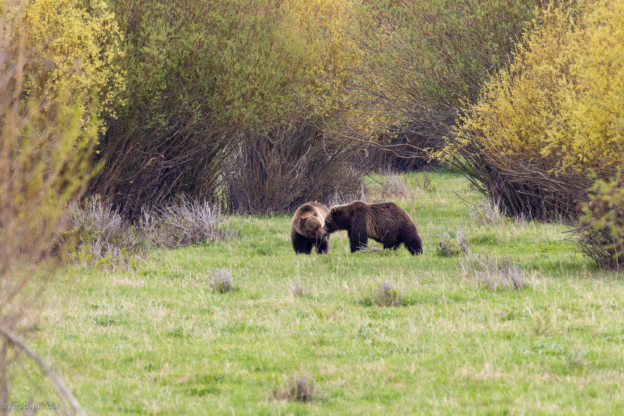
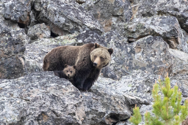
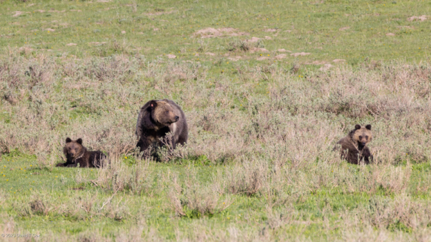
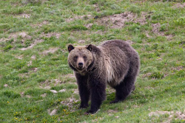
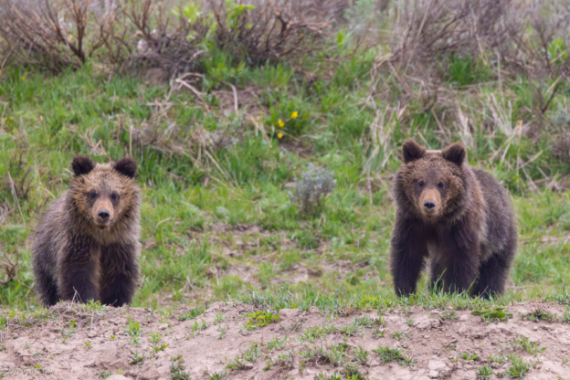
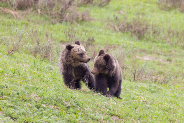
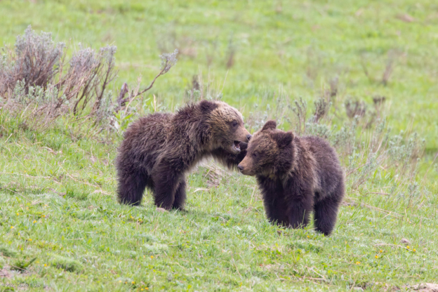
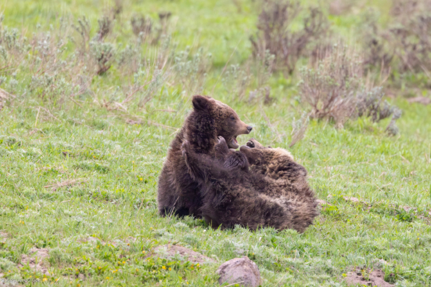
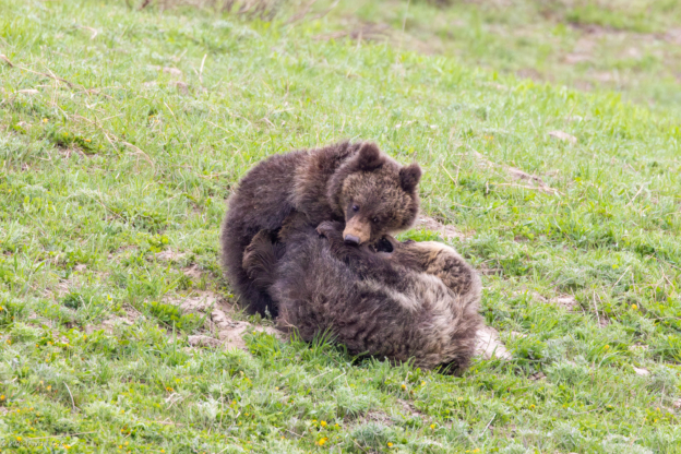
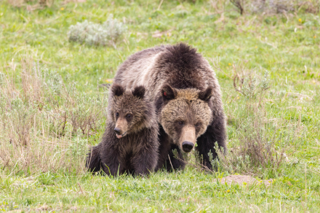
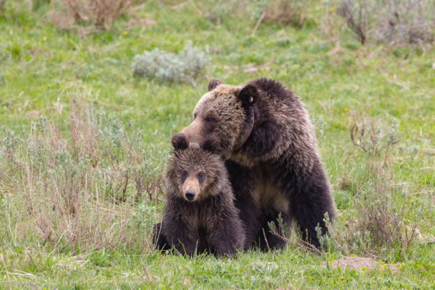
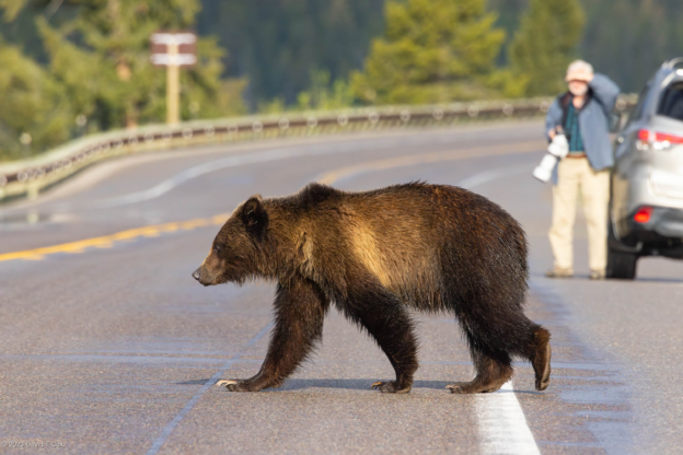
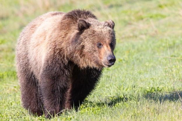
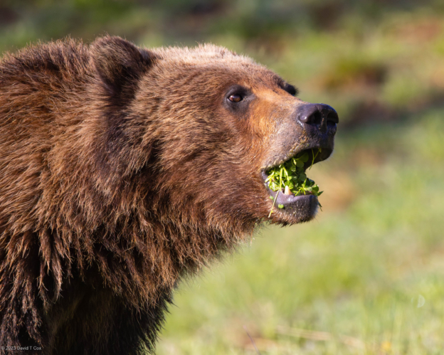
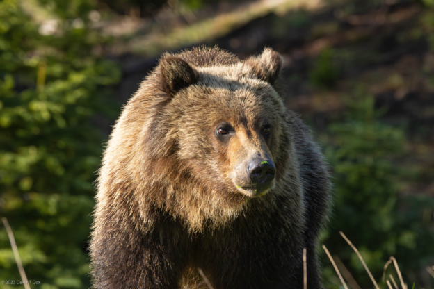
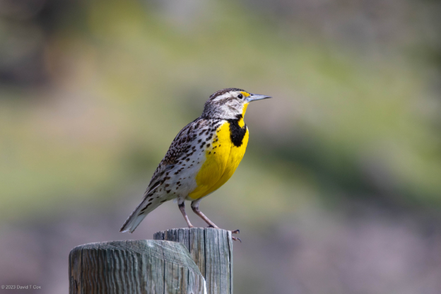
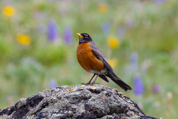
I have spent a majority of my time seeking wildlife; Although the bird life is terrific (includes 5 new duck species for me – Bufflehead, Lesser Scaup, Barrow’s Goldeneye, Common Merganser and, rarest, Harlequin), and the squirrels plentiful, the larger mammals are here in enormous numbers, but less often seen and many seldom seen closely. I have seen 4 Grizzly Bears, generally at probably over 800 meters. The photos of the crowds which gather are more interesting (see composite of crowd gathered for Grizzly). I did have good luck one day with a coyote with a beautiful winter coat doing its classic stance over a rodent hole, listening for movement, and then at the right moment pouncing; it was successful, and the photo shows the fat little dinner package (I have been unable to identify the species) which the coyote swallowed whole, with much grimacing (I would too).
The roads and parking lots in the Park are crowded by 9:30 am (they are empty from 6 to 9am). There are a number of tour buses which cruise the Park, about half of them Japanese tourists. Most Americans, Europeans and Australians are driving there own cars or rented RVs. Most surprising to me are the fairly large number of Chinese tourists, who also are driving rented cars; this is a relatively new phenomena.
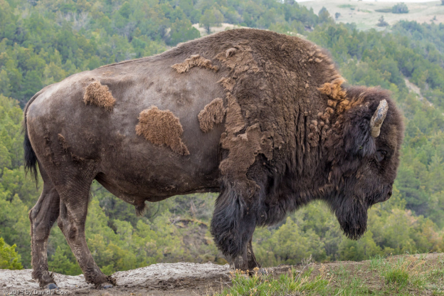
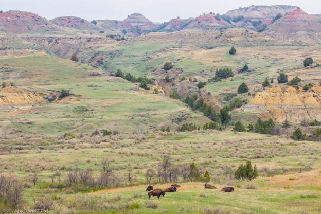
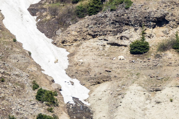
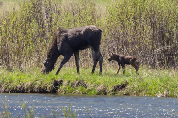
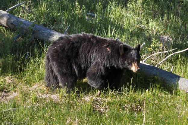
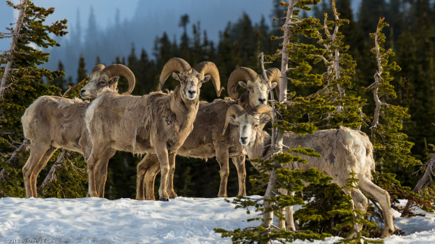
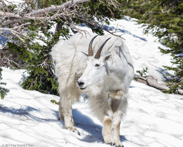
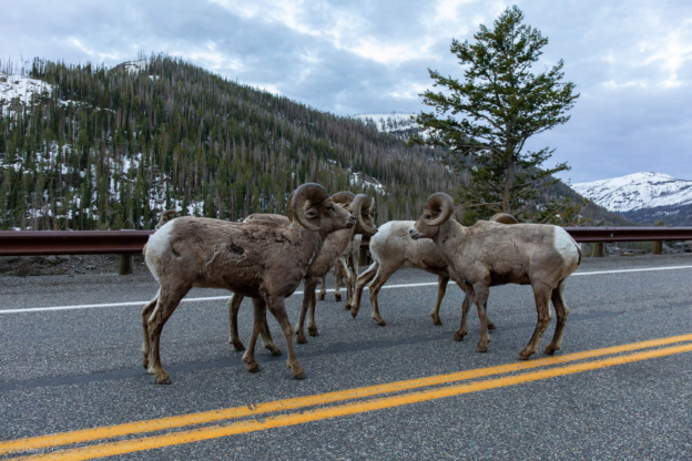
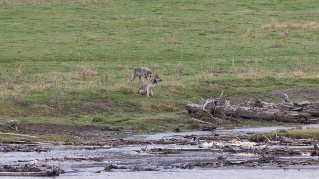
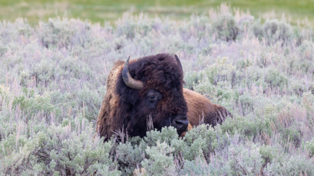
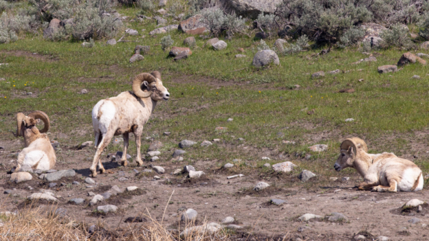
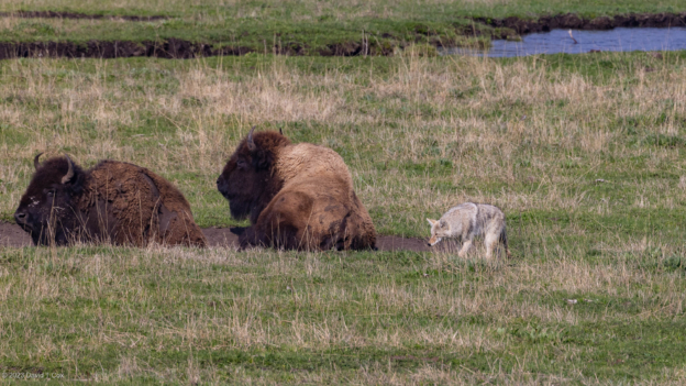
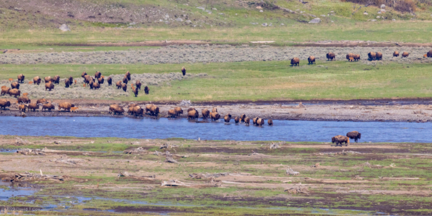
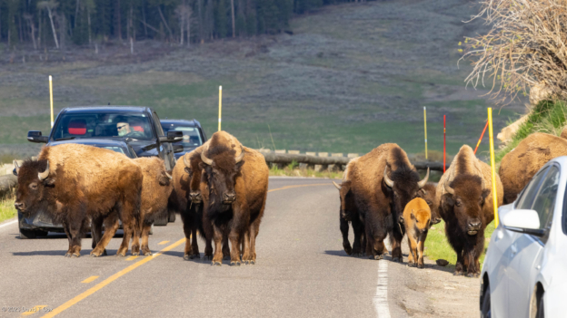
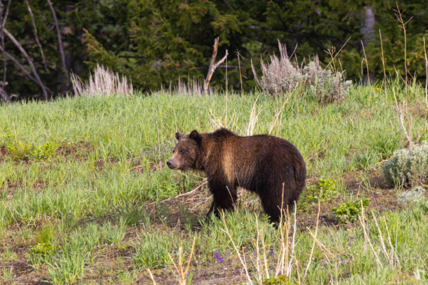
On Friday I left the Lake area and drove north to Tower Falls Camp, a more primitive campsite with no facilities except “hole-in-the-ground” latrines. This is the only campsite close to Lamar Valley, which is most famous for its wolf packs and huge herds of bison. Again, I would leave at about 6am each day and drive the Lamar Valley road (which is the road in from the NE entrance), where I not only encountered the wolf pack daily, but hundreds of bison, black bear, grizzly, bighorn sheep, pronghorn and moose with newborns, and, first time for me – mountain goats, with newborn. Most sightings were at long distances; generally the wolves were at around 1200 meters, and the mountain goats were well over a mile on the snowy cliff-sides of Baronette Peak. I did have one nice opportunity where a grey wolf came down just across the Lamar River, offering relatively close shots (maybe 150 meters). The wolves were generally easy to locate because there are a group of people, (especially on weekends when I was there), referred to as the “Wolf Patrol”, who follow the daily movements of the wolves for the Park Service. One simply drives the Lamar Valley and looks for the “wolf jam” where perhaps 35 cars are clustered on the sides of the road, with a couple of dozen huge spotting scopes on tripods; a sure sign the wolves have been spotted (occasionally also for good grizzly encounters) (The Park Service uses the terms “wolf jams,” “bear jams,” and “bison jams” to refer to the traffic snarls caused when these animals offer good viewing opportunities – often where no convenient pull-offs from the road exist).
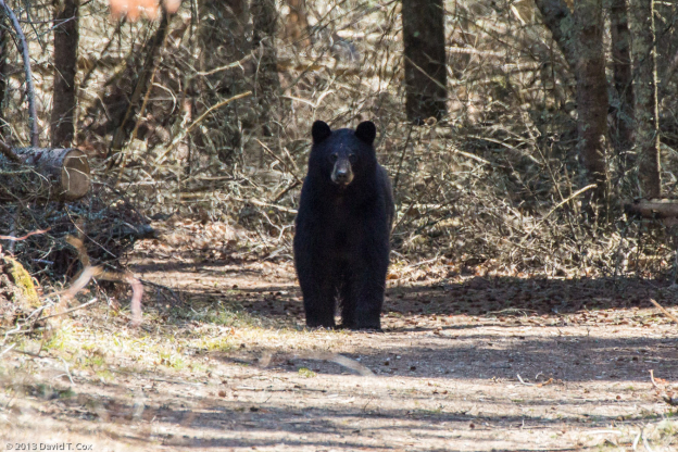
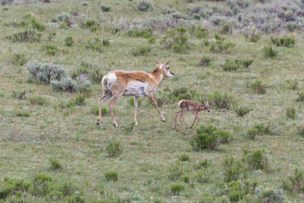
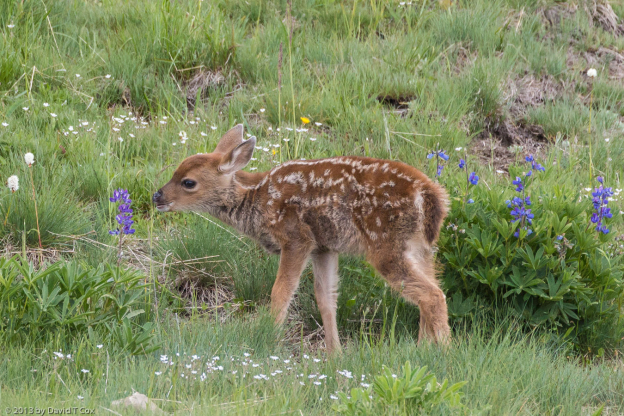
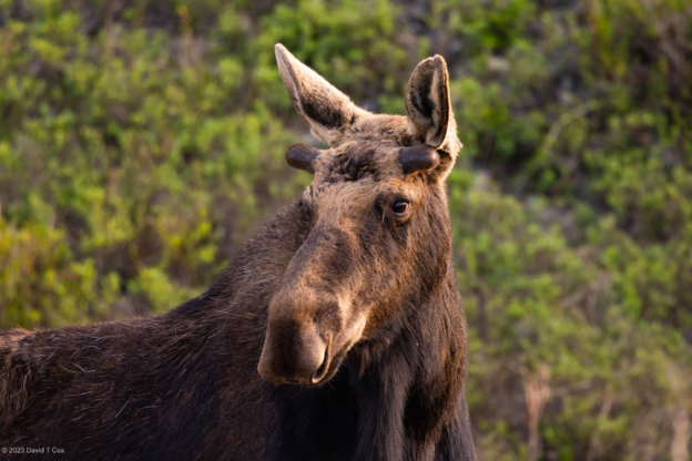
I was fortunate also to see newborn (same day) pronghorn and moose, although again at a distance. In both cases the babies are on their feet within an hour and moving (the pronghorn moving fast). I encountered the same black bear at least 3 times, among others. Really amazing, my final morning out along the Lamar road photographing wolves one final time, I was tapped on the shoulder, and turned to find Emily (the bicyclist I met in Sundance and then again at Buffalo), now entering Yellowstone from the NE; she was riding by and recognized me on the side of the road. She made it across the Bighorn Mtn Pass, and up into the 8,000 foot passes of Yellowstone. It is a small world.
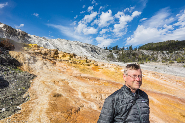
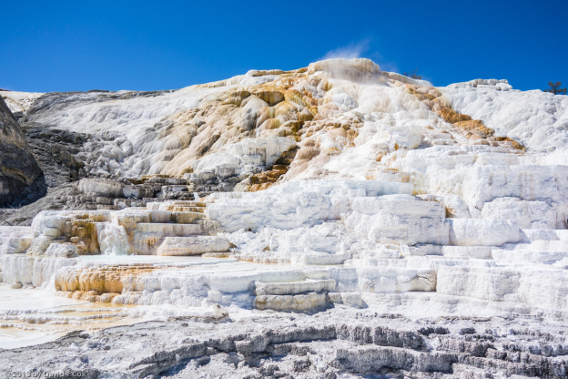
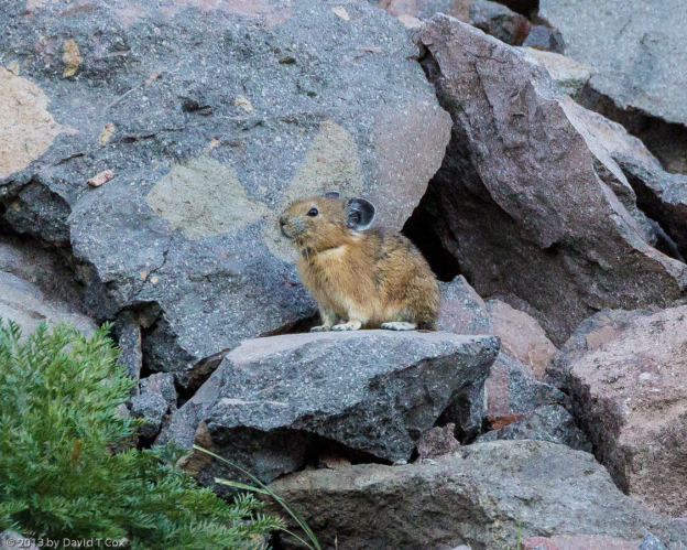
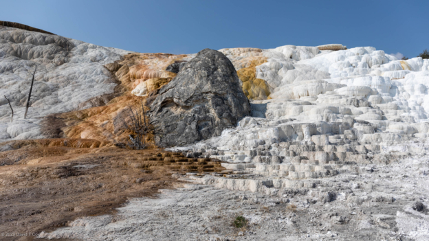
From Tower Falls I moved to Mammoth Hot Springs Camp just south of the north entrance. Mammoth is the original and current Yellowstone headquarters, with 130 years of history and terrific 19th century architecture and period photos. I admit to being a little disappointed in the travertine pool terraces; over 90% of the Mammoth complex is dry, ancient travertine, dull and grey. Only small areas are active with fresh water flows which are necessary for the beautiful shiny travertine complexes. I was spoiled a few years back visiting Pamulkale, Turkey (Hierapolis to the ancient Greco-Romans), where almost certainly the most beautiful travertine pools in the world seem to be sculpted down a mountainside. I did some hiking to rocky cliffs in hopes of photographing pika, but without luck. Some of the views are memorable, but little in the way of wildlife to thrill after the sites reported above.
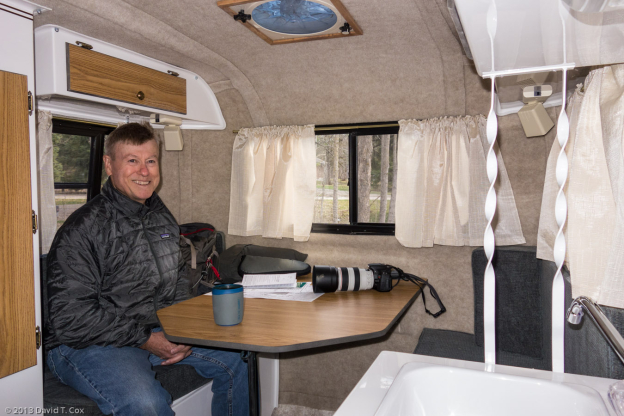
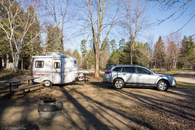
Yesterday I drove down from Mammoth through the north park entrance into Montana, and on to Livingston, the original “gateway” to Yellowstone. The railroad brought the original visitors to the Park, where they disembarked at Livingston, and traveled by wagon the less than 60 miles to Mammoth. I intend to stay here a few days to catch up on my photos, emails, laundry and sundry things. I may visit the Depot Museum which deals with the early years of Yellowstone and the trains into Livingston. My little RV is holding up terrifically, and I am becoming very fond of it. The bathroom facilities are sufficiently small that I have been using the facilities available in the RV parks, except when in primitive sites (I just don’t shower for a few days – I don’t have company). I still am eating my main meals in little restaurants, again with the exception of the primitive sites, where I enjoy junk food and tuna sandwiches. My fridge works 24-7 so I never am short of beer, wine and cheese. The weather has been sufficiently cold and rainy that outside cooking is not something I want to do just yet. It is raining now, although I had several great blue-sky days in the Park.
I have checked on Glacier National Park, and the famous “Road to the Sun” will not be plowed and open until sometime after June 21; This will be a major stop for me – hopefully for closer photo opps with grizzlies, and so I will slow down for a while in hopes the roads are cleared.
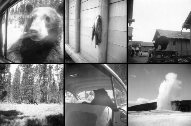
I have attached a number of pictures, identified below. I also made a composite of 6 of the pictures I took with a Brownie Camera in 1960 when I was 11 years old, and have attached it first; I believe it shows some of the changes referred to above; notice the bears, begging on the road, in the trash, in a car with picnic basket, and see the ranger standing next to Old Faithful (now never done), and the catch of Yellowstone Cutthroat trout (my first fishing), once common, but now become endangered due to the introduction of Lake Trout and Rainbow Trout into the ecosystem in the 1970s. Until later. Dave
Attached Yellowstone Pics, in order
Yellowstone 1960 Composite
Lower Yellowstone Falls
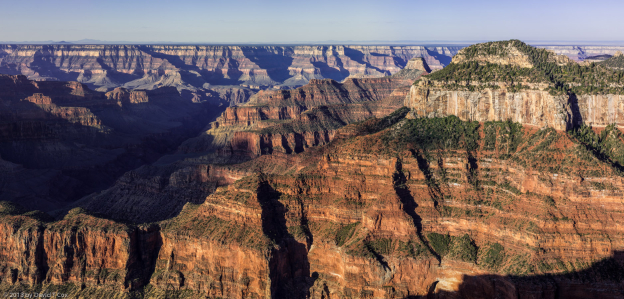
Grand Canyon of Yellowstone
Grizzly Jam
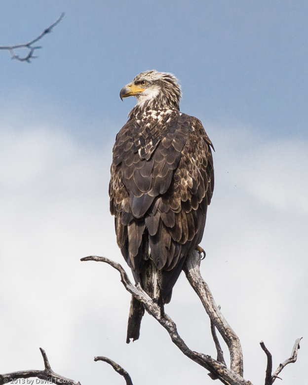
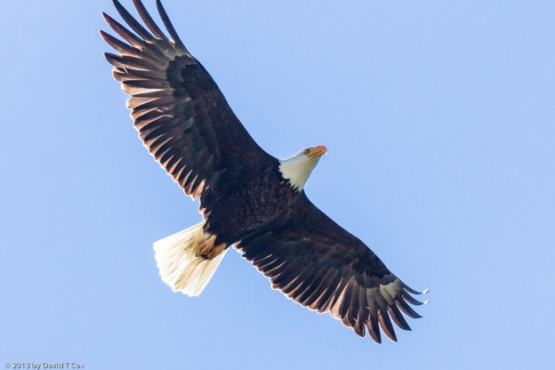
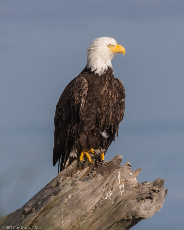
Bald Eagle 3rd yr
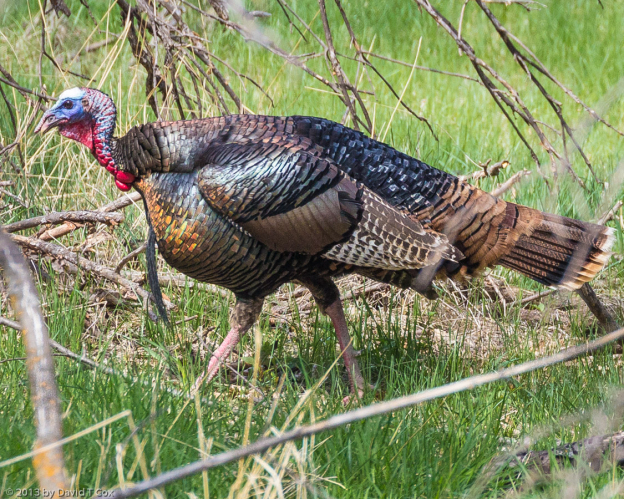
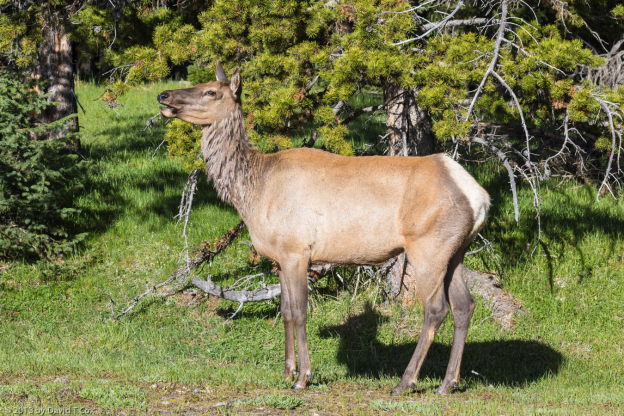
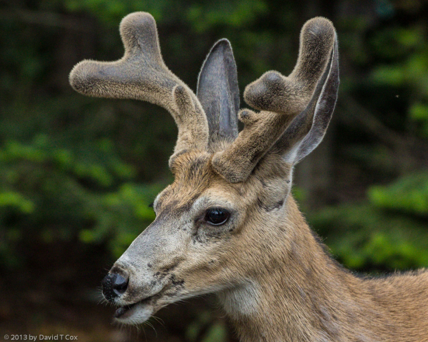
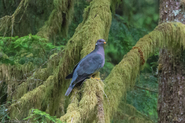
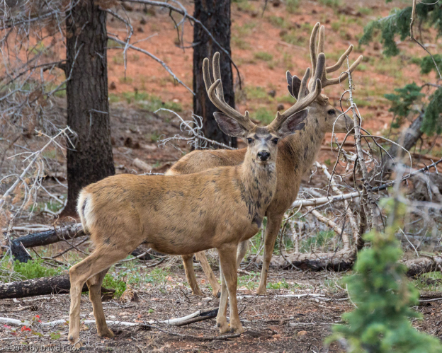
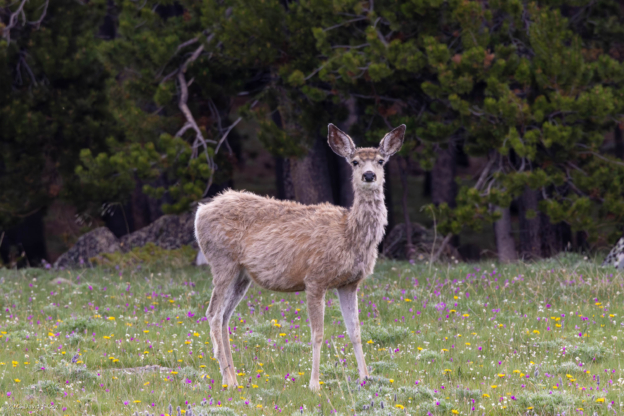
Elk
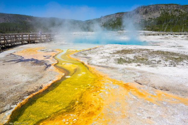
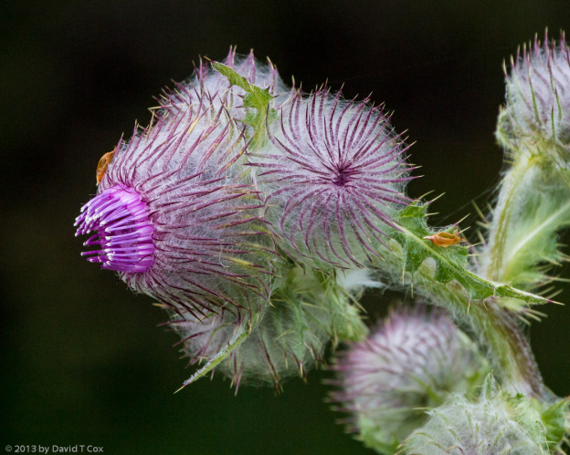
bacterial mats Upper Geyser Basin
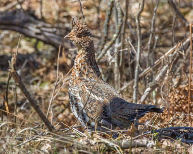
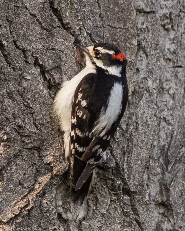
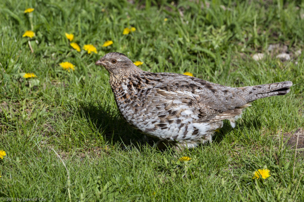
Ruffed Grouse
Coyote w rodent
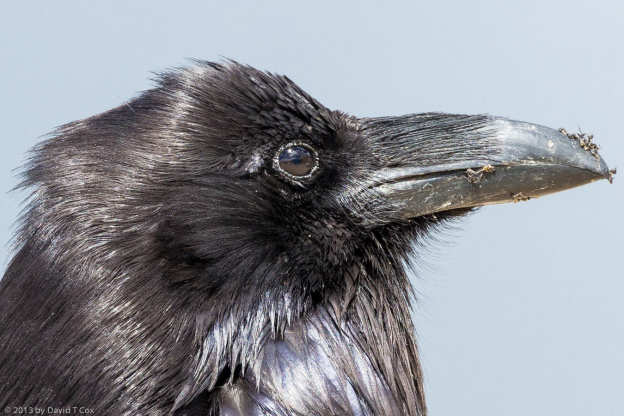
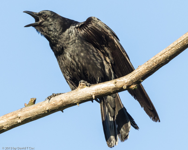
Raven close-up
Barrow’s Goldeneye
Lesser Scaup
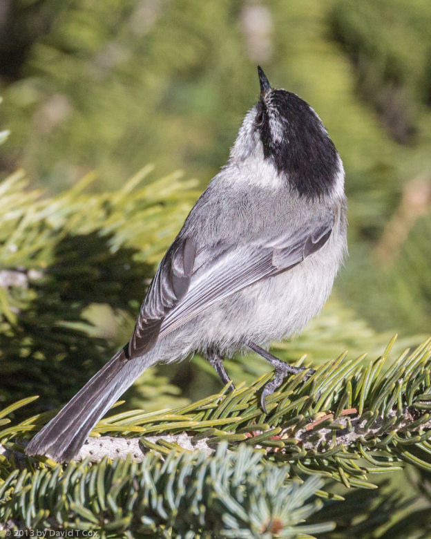
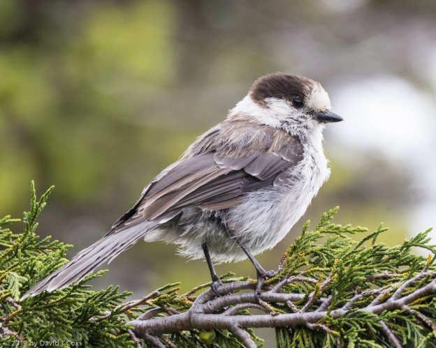
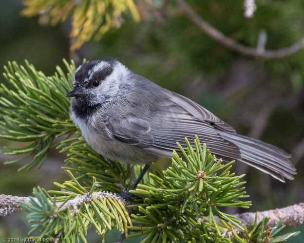
Mountain Chickadee
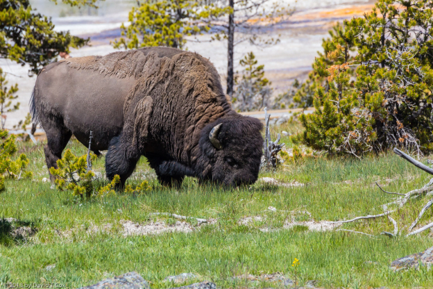
Bison, Upper Geyser Basin
Hot Springs bacterial mats, Upper Geyser Basin
Grand Prismatic Spring
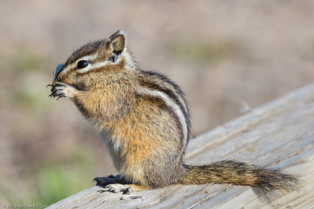
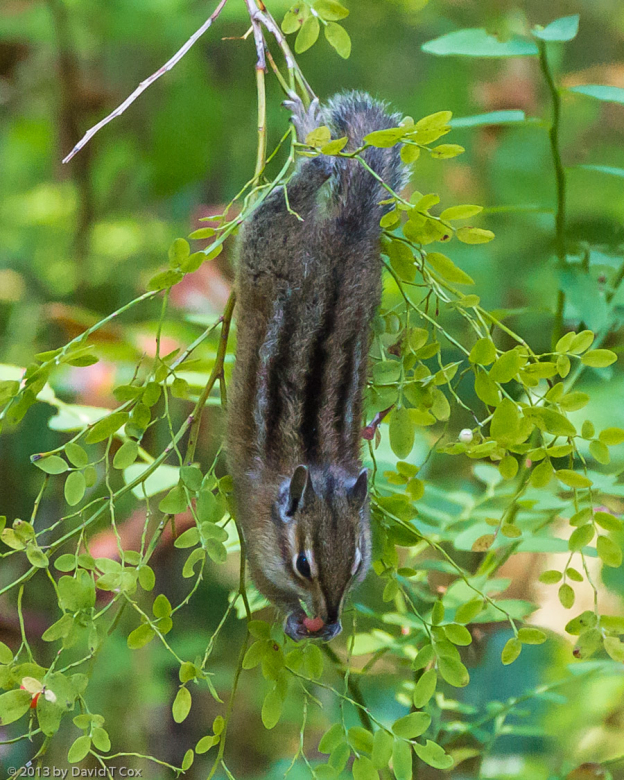
Least Chipmunk
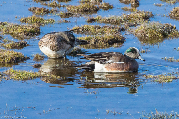
American Widgeon
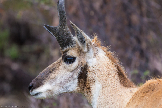
Pronghorn w Newborn
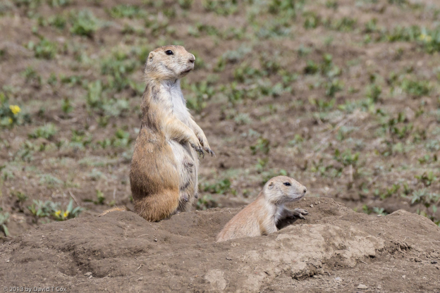
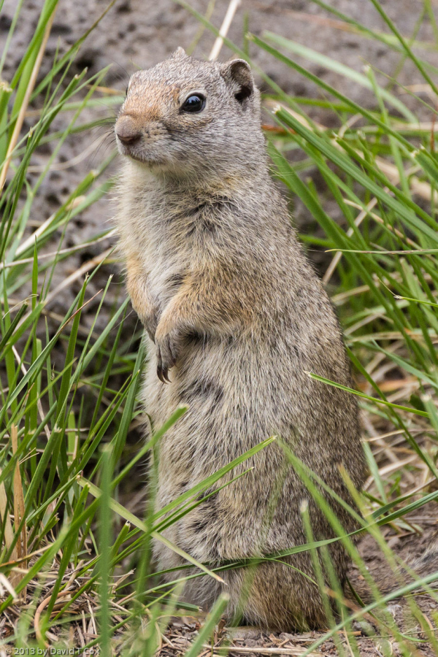
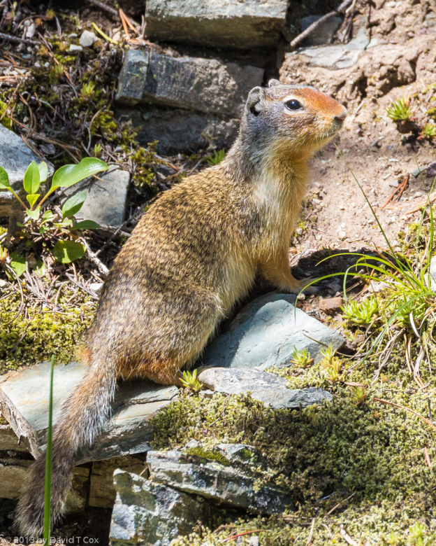
Uinta Ground Squirrel
Grey Wolf
Mountain Goats
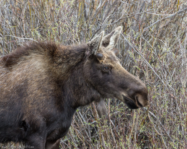
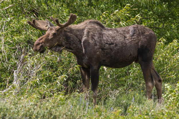
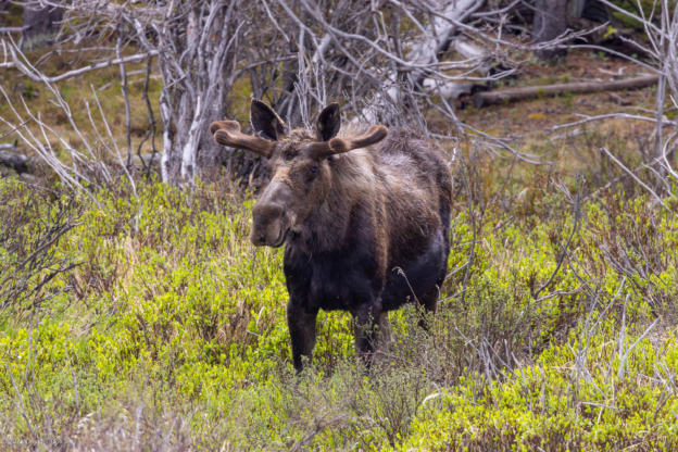
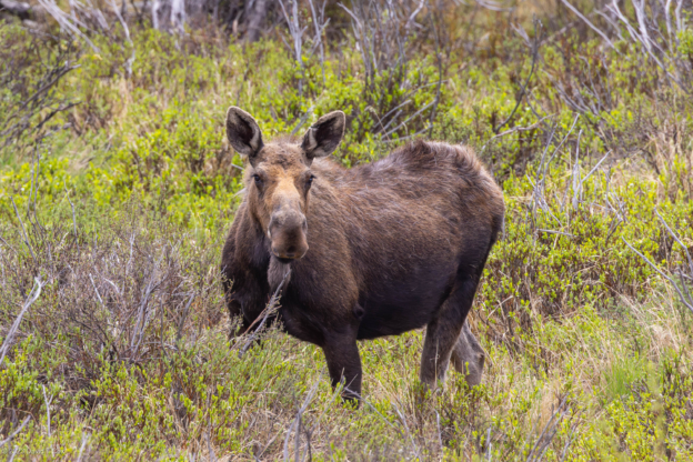
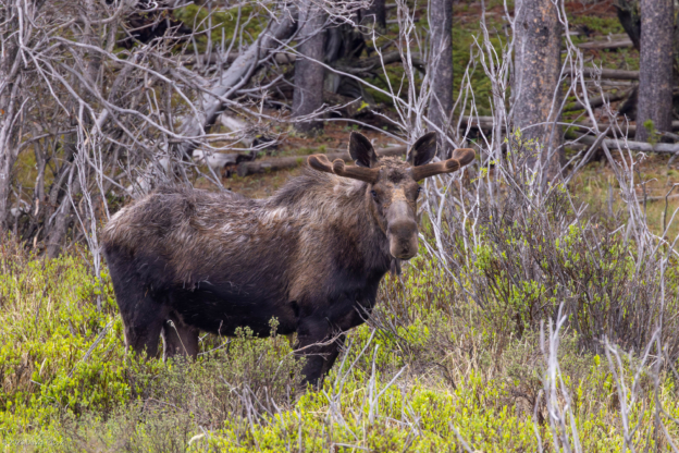
Moose w newborn
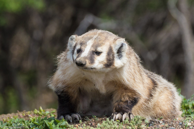
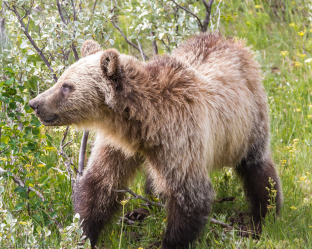
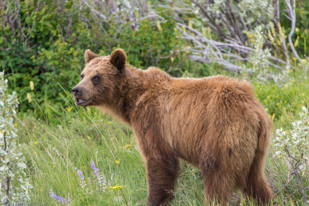
Black Bear
Mammoth Hot Springs
Golden-mantled Ground Squirrel
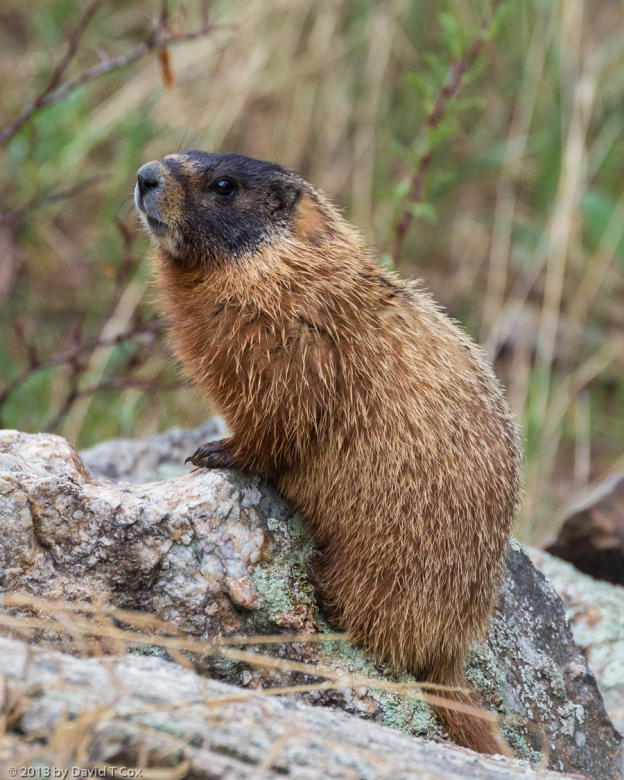
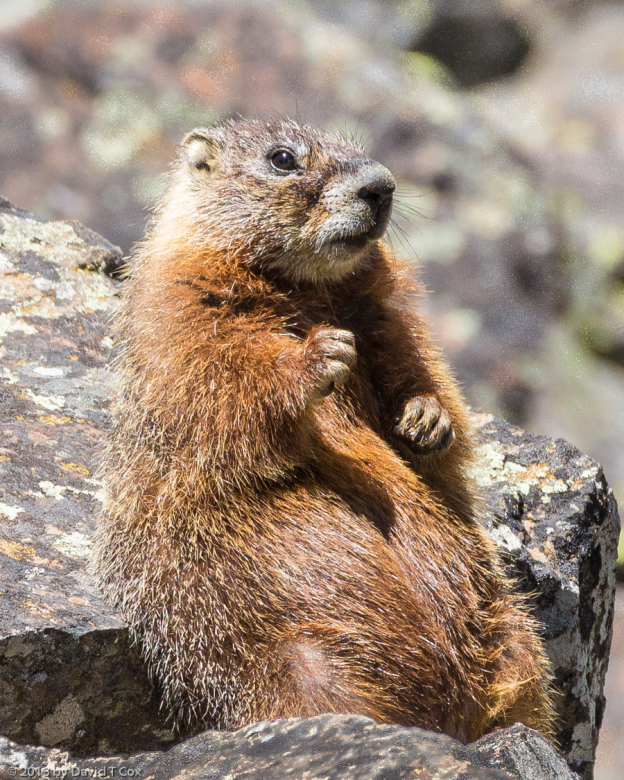
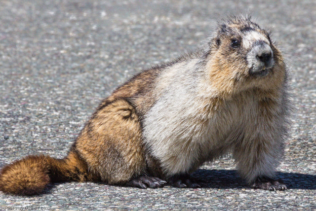
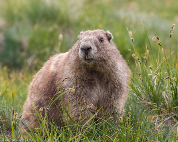
Yellow-bellied Marmot
photographer at Mammoth Hot Springs