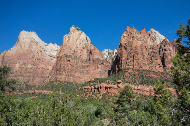
Hello everyone. I last reported on visiting Bryce Canyon National Park in Utah. From Bryce I drove just a little over an hour to the little town of Glendale, UT, where I stayed for a few days to catch up on mail, and visited Zion National Park. Like Bryce Canyon (and Arches, Canyonlands, Grand Canyon and the other southwester parks and monuments), Zion is comprised of the most stunning geologic scenery.
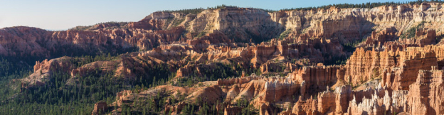
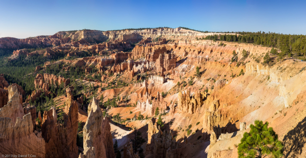
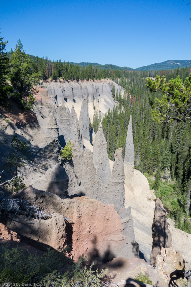
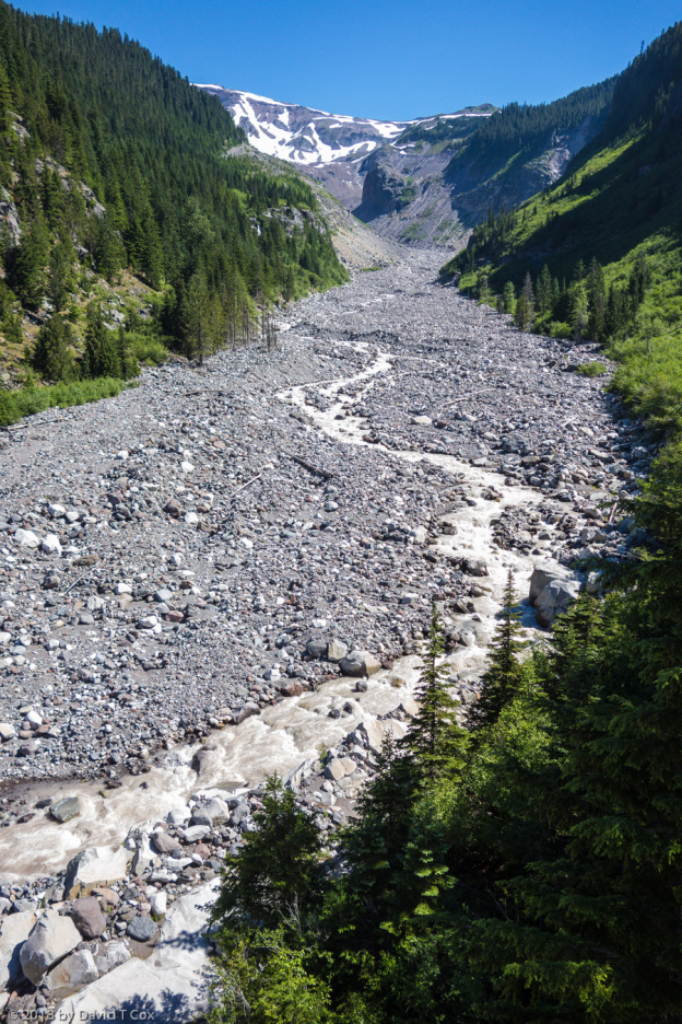
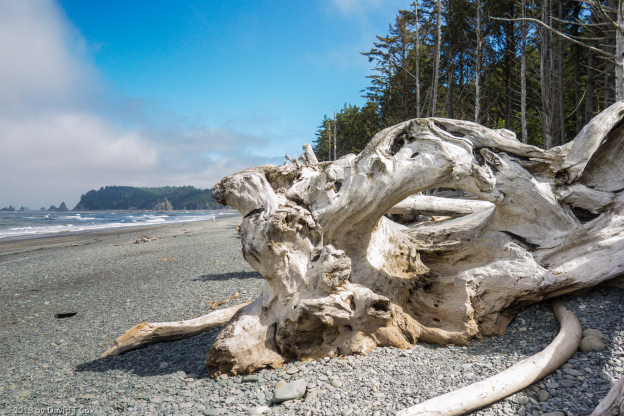
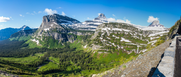
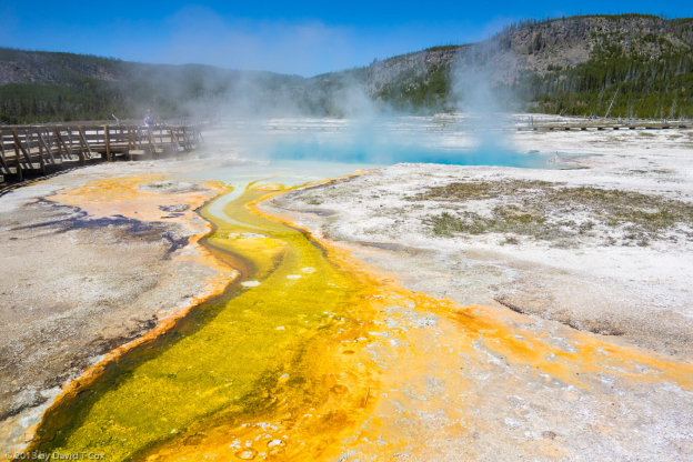
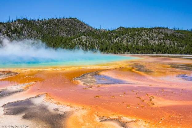
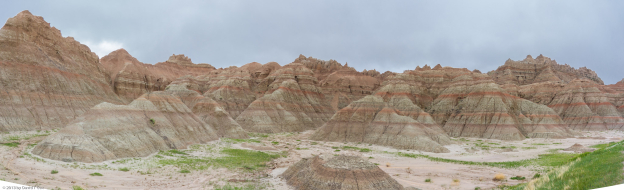
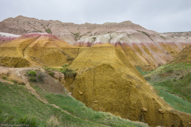
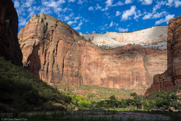
One can talk all one wants of the world’s highest sandstone cliffs, the stunning pallet of colors, the sculpted peaks, rills, hoodoos, escarpments – but nothing paints the picture like a picture (see attached), but the pictures don’t adequately convey the size or immense sense of depth experienced by actually being there.
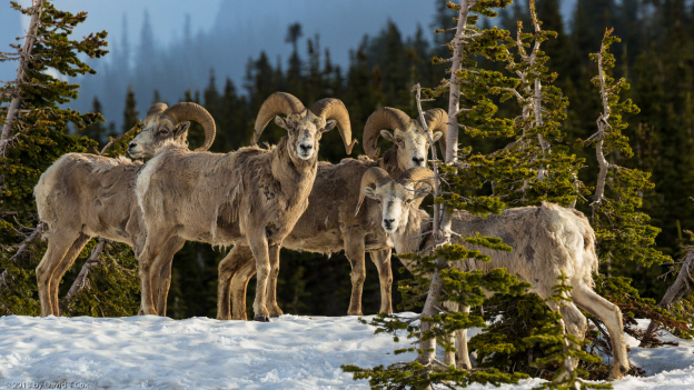
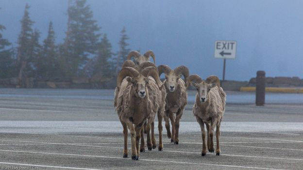
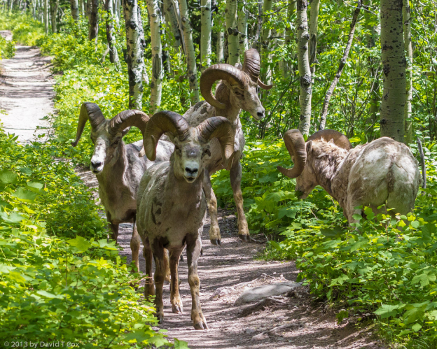
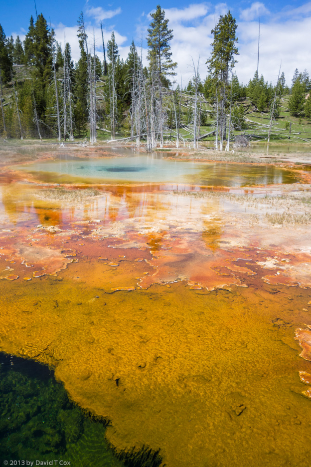
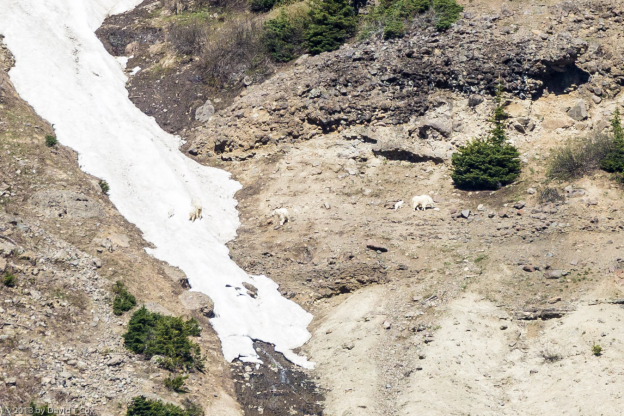
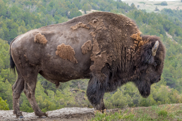
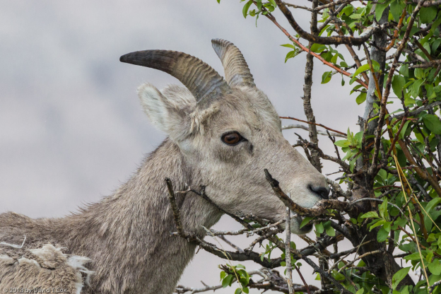
Zion Canyon, the main touristed part of the Park, now is closed to private cars (except for those staying at the historic lodge). The excellent shuttle service operates from 6am, and one seldom has to wait more than a few minutes for a shuttle. As with all other parks in July and August, I generally found myself alone in the Park from sun-up until after 9am – from mid-morning and for the rest of the day, most trails are crowded and all parking lots are overflowing. Zion Canyon not only has a perennial stream running through it (which, of course, created the canyon), but has numerous cliff faces from which water seeps out of the sandstone forming little water falls and pools. Among other short hikes, I hiked up to visit the 3 sets of Emerald Pools mid-way up the canyon, and got to see and photograph a canyon tree frog, a seeming rarity outside the moist tropical rain forests. Most of the features in the canyon were named by early Mormon settlers, so one encounters names such as “Court of the Patriarchs” with its 3 peaks, Abraham, Isaac and Jacob, the “Great White Throne” and “Angels Landing”. The eastern part of the park, which differs considerably from Zion Canyon, is reached after navigating 7 huge switchbacks, and then passing through the edge of one of the sandstone cliffs via a 1.1 mile tunnel, which, at the time it was built in the early 20th C, was the longest tunnel in the US. In the eastern section of the park on the higher elevations, I once again encountered bighorn sheep.
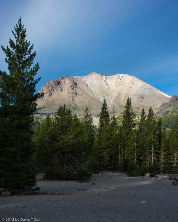
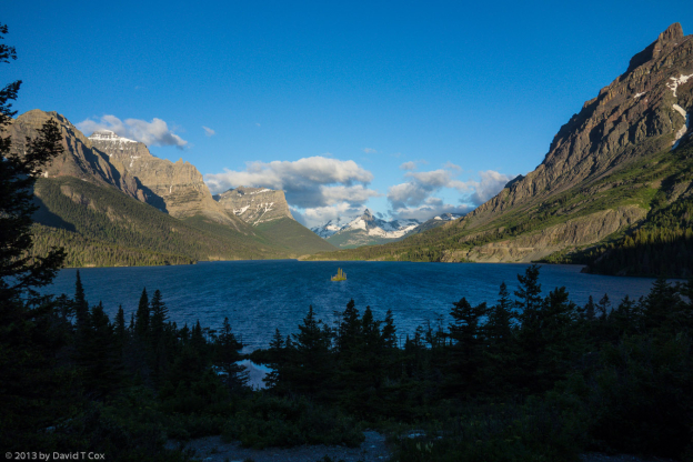
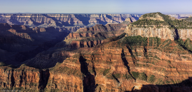
From southern Utah I drove a week ago Sunday down into the strip of Arizona which lies to the north of the Grand Canyon; I never have visited this strip before. I set up camp in a Kaibab National Forest campsite at Jacob Lake, and the first day drove down from the high plateau to the base of the Vermillion Cliffs National Monument; here one is just below the point on the top of the cliffs where the endangered California condors have been released back into the wild (they have been raised by hand in San Diego since the 1960s, when fewer than a few dozen breeding pair existed). I was able to spot 7 or 8 condors at a great distance landing in the area of the release cages, and occasionally flying above the cliffs with large groups of ravens. From Jacob Lake it is just an hour drive to the north rim of the Grand Canyon, where I spent the day on Saturday. Although I believe the view is less spectacular than that from the south rim (partially due to the sun’s trajectory to the south, and partially due to the fact the south rim lies much more directly over the Colorado River and the deepest part of the Canyon), the views nevertheless are stunning. The main advantage of the north rim is that it receives considerably fewer tourists; in fact, it is the only national park I have visited where the visitor center parking lot does not fill by mid-day. I took a number of photos from the Bright Angel Point. I also enjoyed an immense breakfast buffet at the historic Grand Canyon Lodge, before hiking several short trails.
From the north rim, I traveled east between the Vermillion cliffs and the Colorado River to Lee’s Ferry, where the road crosses the Colorado at Marble Canyon, and from there headed south across the Navajo Reservation to Flagstaff. I spent the night in Flagstaff and was rewarded to find one of my favorite ex-partners, and fellow bird lover, passing the summer in the cool of the Flagstaff mountains. Art treated me to a terrific lunch where we passed a couple of hours discussing, among other subjects, birds of course.
From Flagstaff I drove straight through to Tucson last Wednesday – it was just 104 days after my departure, on May 3, to pick up my new RV in Minnesota. On reflection, this was the longest trip I have undertaken in the last 13 years of travel, measured both by time and by distance traveled on the ground. The longest previously was 91 days passed in Australia, where I traveled just over 10,000 miles (16,000 km) by camper van. This trip, I put 11,600 miles (18,560 km) on the Outback’s odometer. The distance is comparable to traveling from Arizona to India on land, that is, half way around the world. Considering the direct distance to drive around ½ of the US is less than 6,000 miles, this indicates that I spent fully half my mileage exploring surrounding countryside, which seems about right.
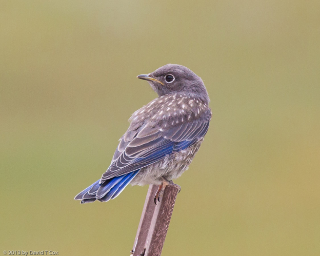
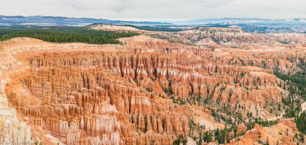
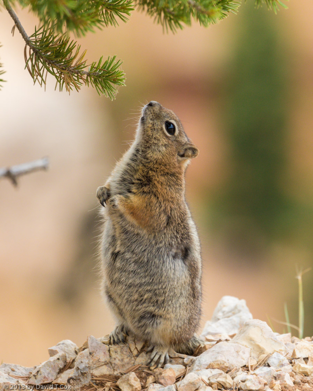
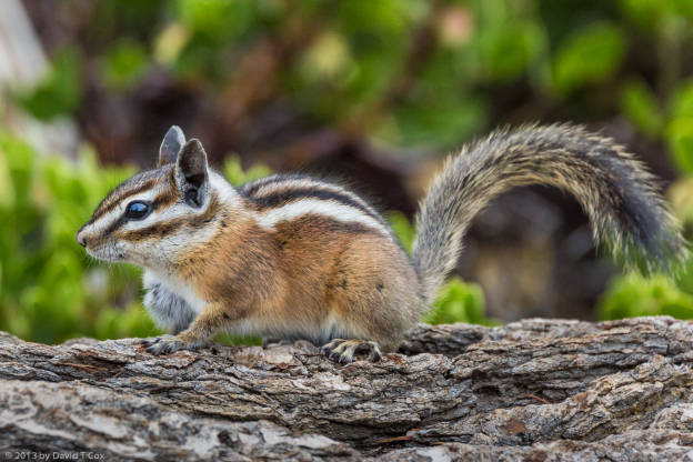
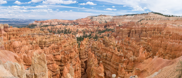
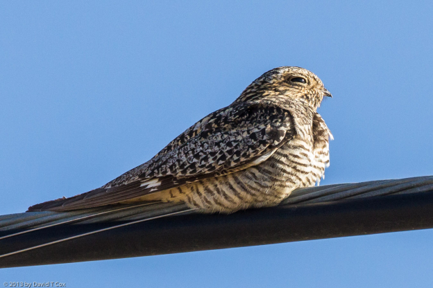
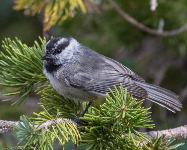
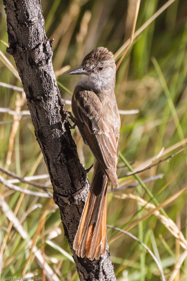
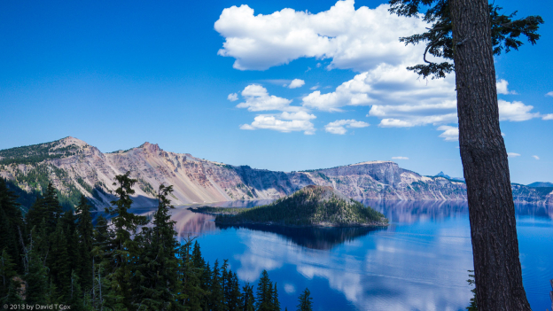
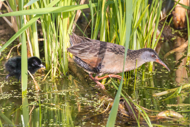
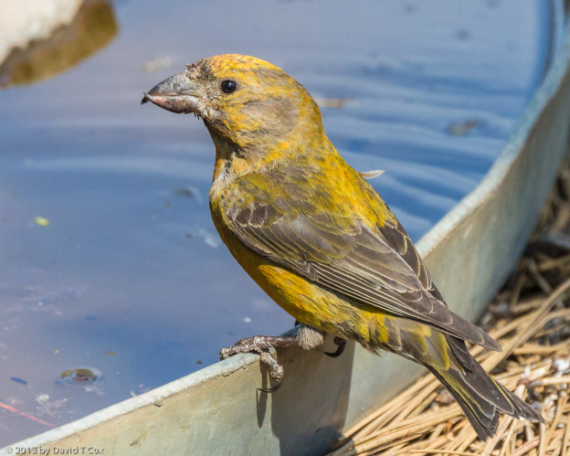
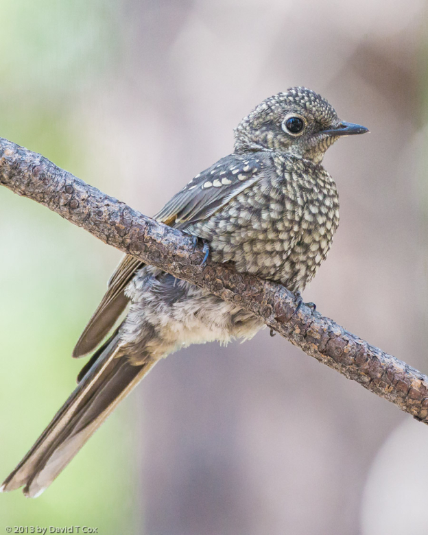
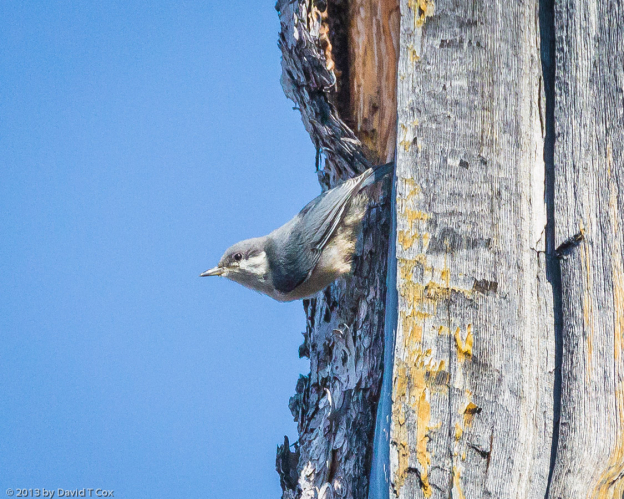
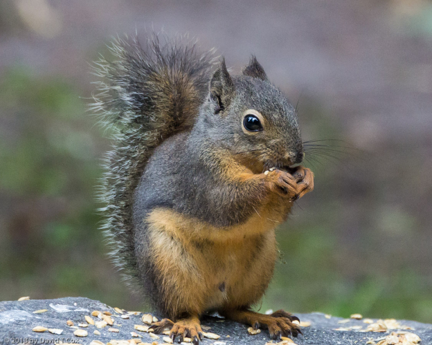
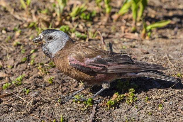
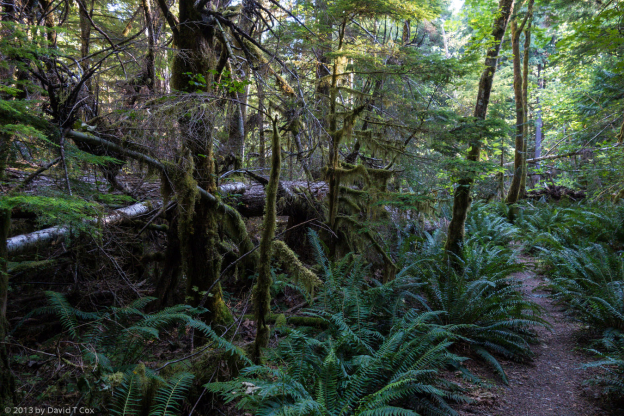
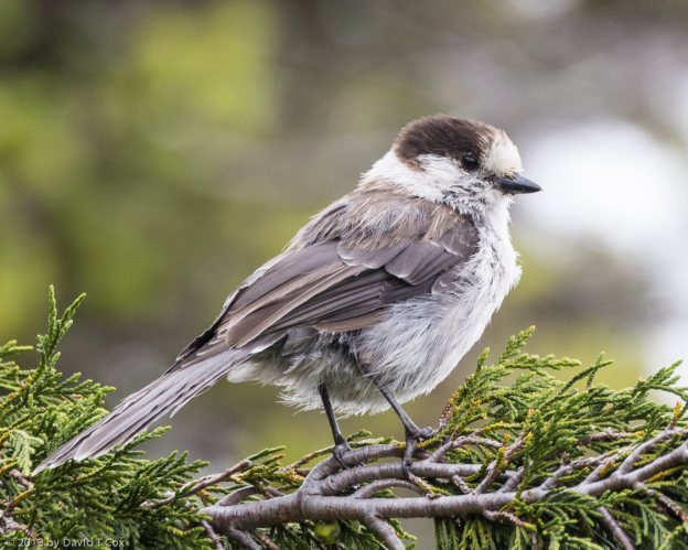
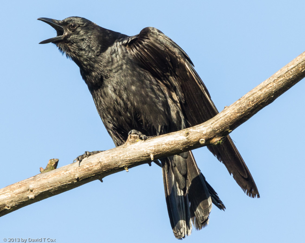
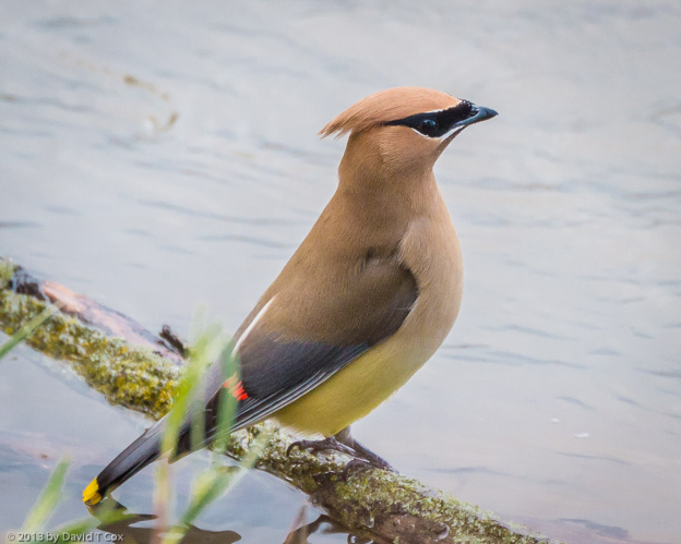
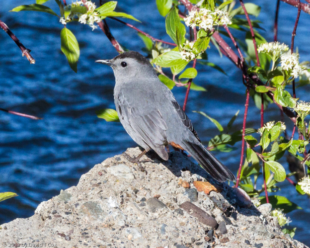
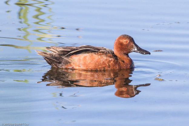
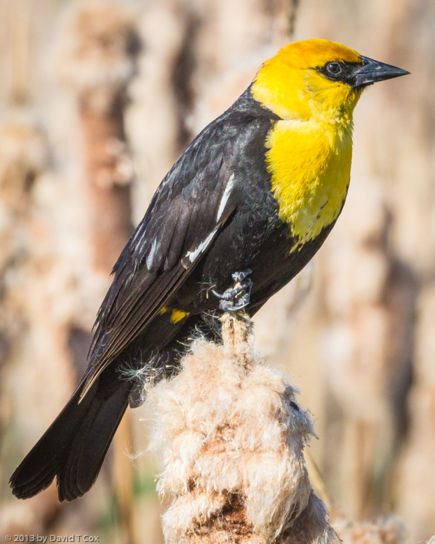
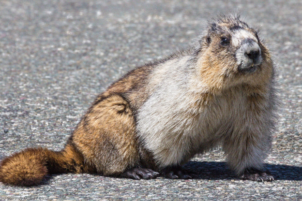
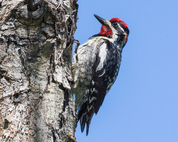
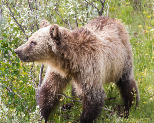
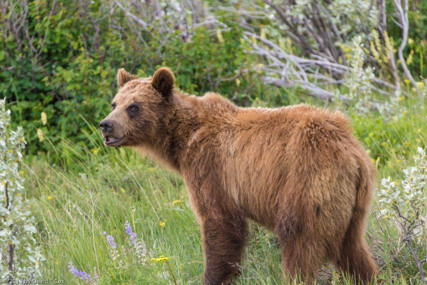
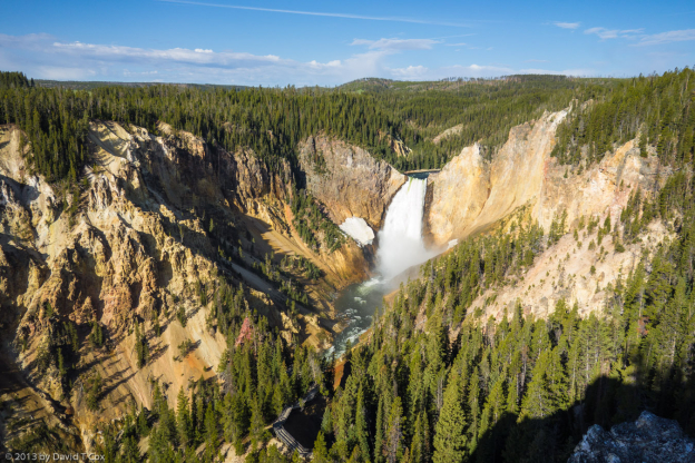
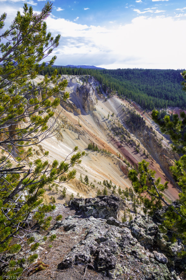
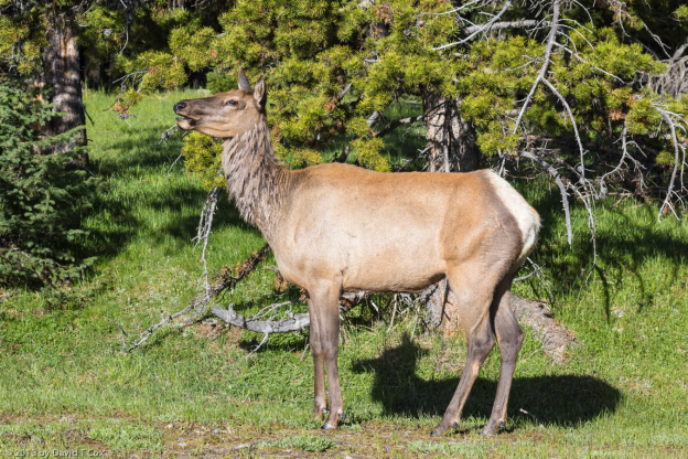
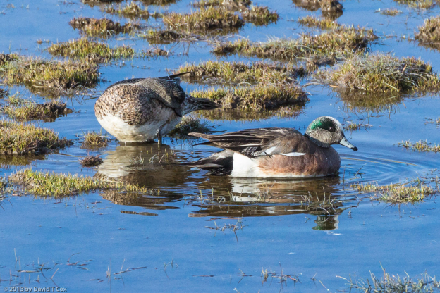
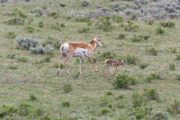
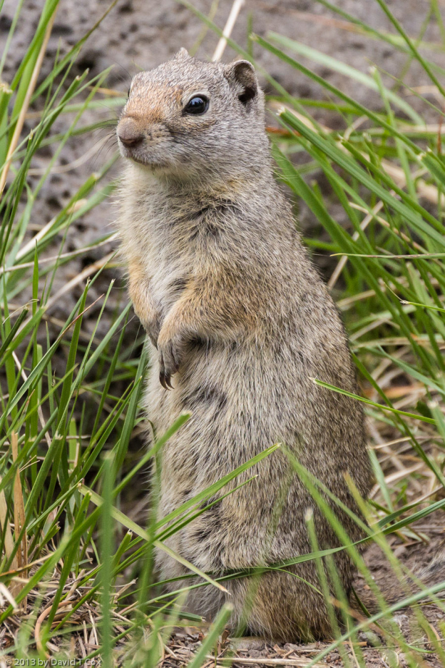
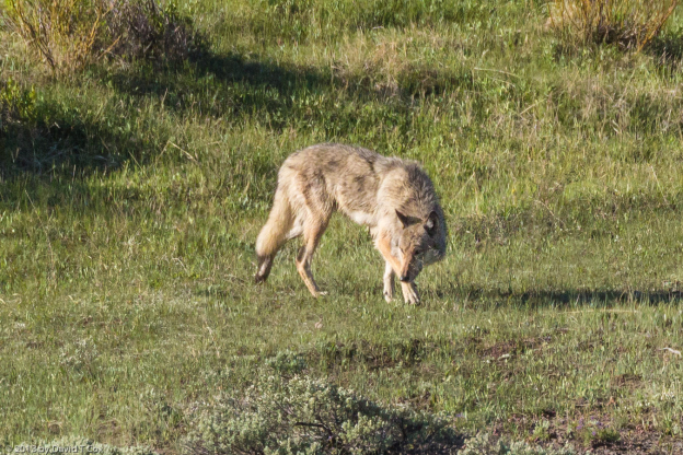
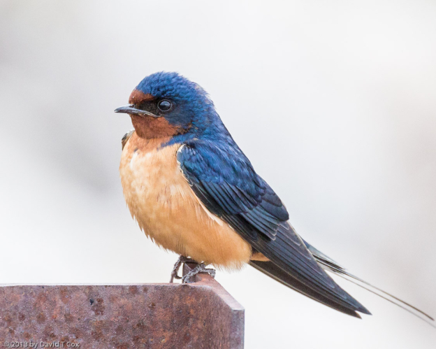
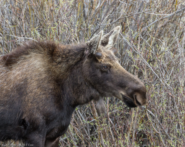
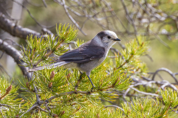
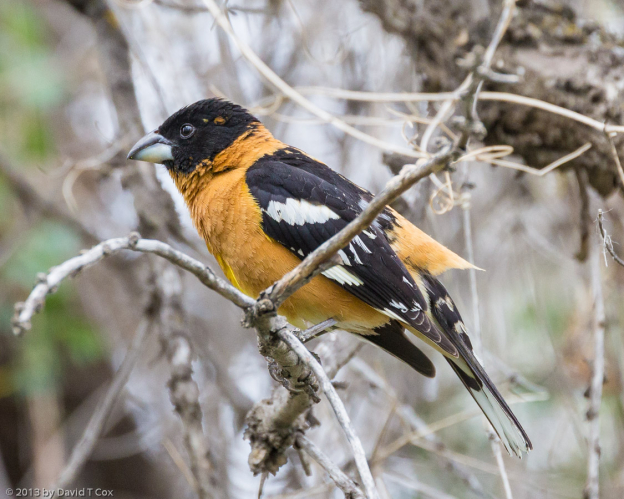
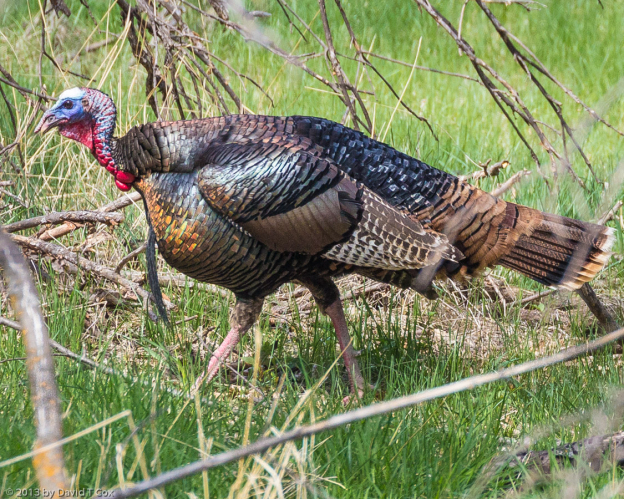
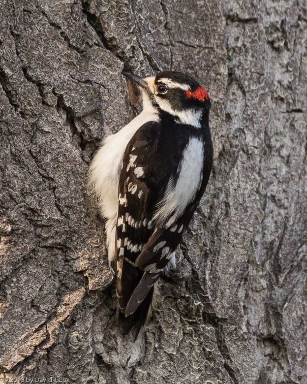
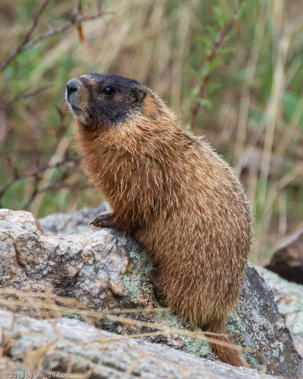
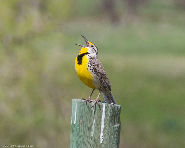
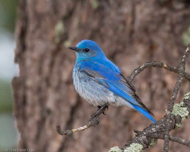
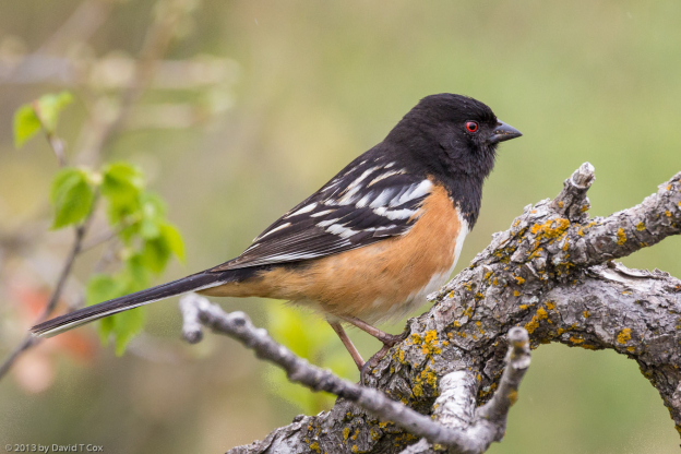
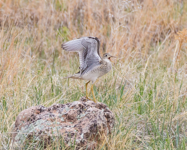
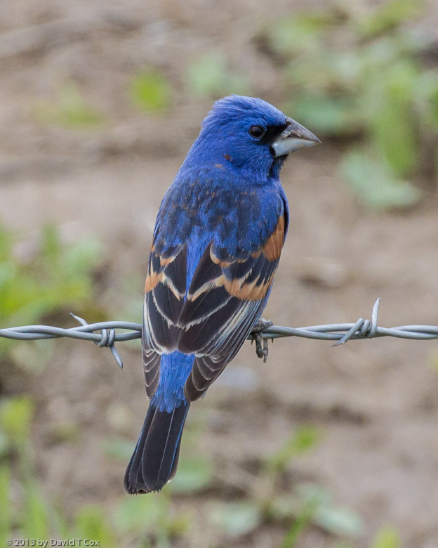
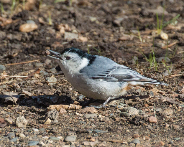
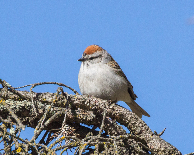
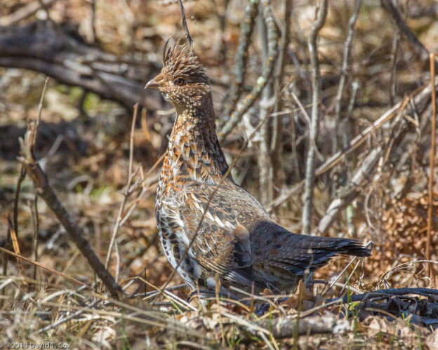
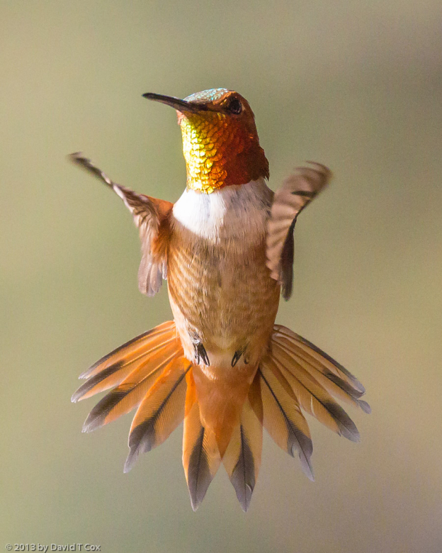
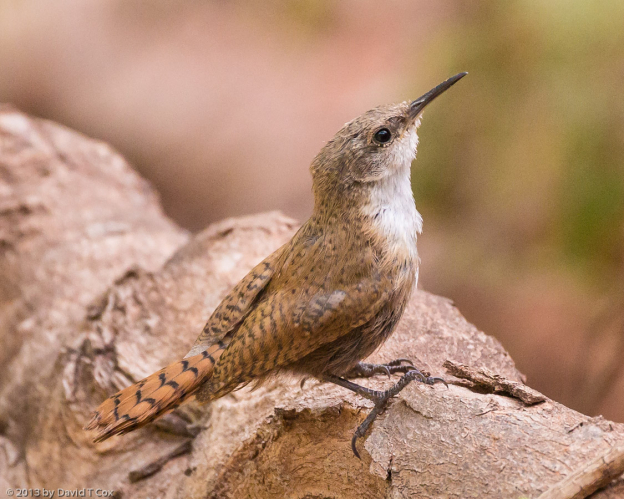
I have included just a hand-full of photos, including a couple of the sandstone formations of Zion, the bighorn sheep of Zion, a canyon wren, a rufus hummingbird, and the grand canyon from Bright Angel Point. I also have included one final image of Bryce Canyon, for two reasons. First, as I previously have stated, this Canyon, to me, is one of the most stunning visual scenes on earth. Second, although the jpeg photo attached gives no indication of its size, the tiff original in fact is the largest and highest resolution photo I ever have produced (though by no means the best image), and I am displaying a little pride. For those so inclined, I briefly discuss the technical aspects of the original photo below. For the rest, adios – life continues to be good. I do not know what my next journey will be. Dave
[Technical Aspects of Bryce Canyon Original Photo: The photo is a composite of 55 handheld images made shortly after sunrise, from Sunrise Point in Bryce Canyon. The 55 images were taken through a Canyon 70mm “L” lens mounted on an APS-C sensor body, so the effective focal length (compared to a full-frame sensor) of each of the composite images is about 110mm. The use of the full frame lens on the APS sensor means the recorded images employed just the “sweet spot” of the lens’ images (the central portion which always comprises the sharpest part of the images); the images were further cropped to the extent of the “overlap” when combined into the composite, meaning only the very best part of each image was employed, where pixel to neighboring pixel contrast was maximized. All images were recorded RAW at 14 bit color depth. The composite image has the effective coverage of a 21mm lens on a full sensor (35mm) body, meaning a very wide angle perspective. Due to the composite construction, all usual wide-angle lens distortion was effectively removed, and the image is properly rectilinear (a true perspective, if viewing the image, would require the image to be curved into a partial cylinder around the viewer’s eyes). The image measures 27,831 by 14,422 original, sweet-spot, pixels, for a total of just over 400 million pixels (megapixels); contrast that with the Canon Professional 1D’s 22 megapixels. The largest format, professional, digital camera backs today have from 33 to 46 megapixels, barely 1/10 of what I was able to achieve with composite image technology. (There does exist in the world a digital sensor somewhat larger than 400 megapixels, but it is cryogenically cooled, and resides in a phone-booth-sized camera box attached to the world’s largest telescope in Chile). Anyway, the photo is capable of being printed to a billboard sized print while retaining the close-up detail one would expect in most high quality magazine print reproductions. In other words, one would be able to “walk into” the billboard sized photo and continue to see minute detail even upon inspection as close as the eye can focus. I have found a local processing shop I am using for some reasonably large prints (I have gone as large as 32 X 48 inches – hanging in the living room), but this reproduction would require one to reverse the process used to create the original image, that is, the image would have to be broken into sections corresponding to the largest paper size the commercial printer is capable of printing (in my shop that is a 40 inch wide strip). Each strip would then be separately printed, and the end results re-composited into a single photo. If I were prepared both to spend the money and hire a professional to engineer a mount, I would have the image printed to cover one of my house’s walls. But as the printing cost escalates with the area of the photo, this one would set me back in the range of $3 – $4 thousand just to create the printed strips; how to mount the strips would be a real problem.The tiff image file size? – exactly 3 Gigabytes.)
-
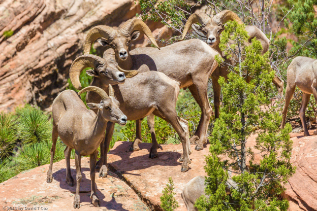
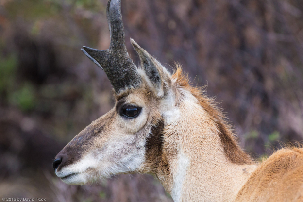
- bighorn sheep