The morning before I left Kanab, UT, I drove out to see the Coral Pink Sand Dunes State Park; the morning sun, coupled with the blooming rough mulesear flowers and sage, made for some magical color photos of the pink-orange dunes.
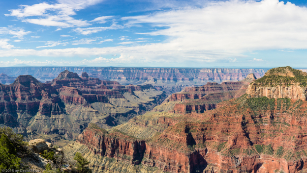
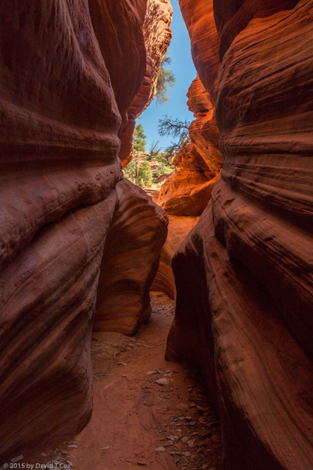
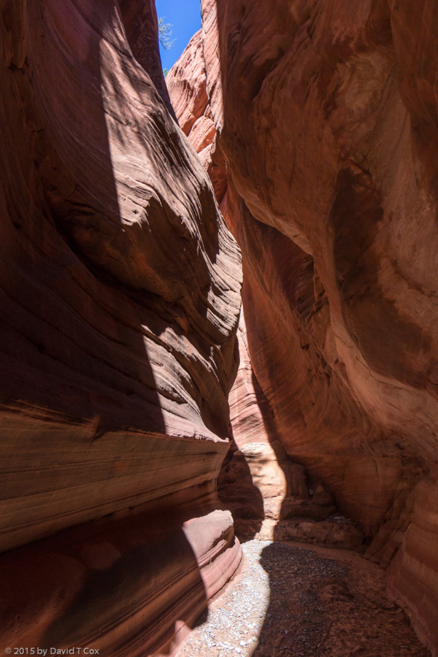
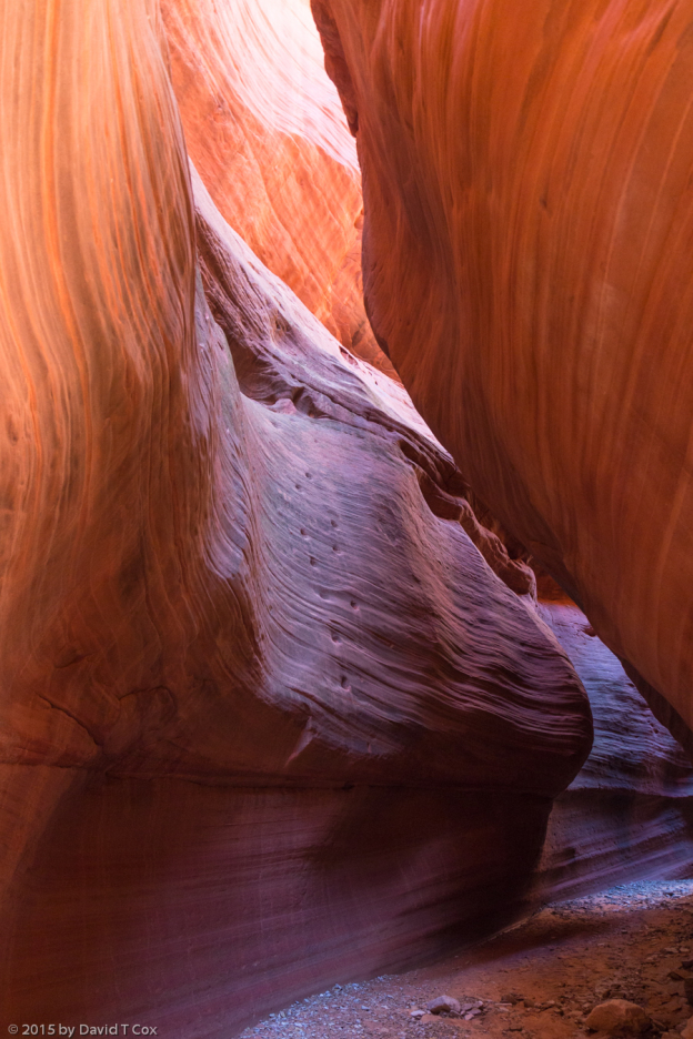
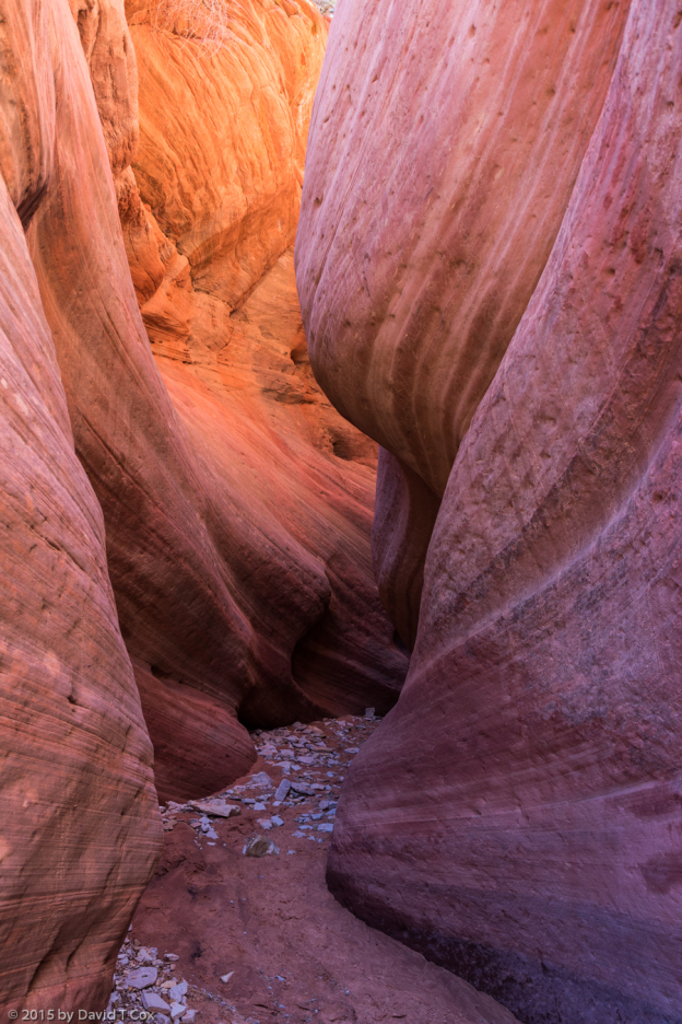
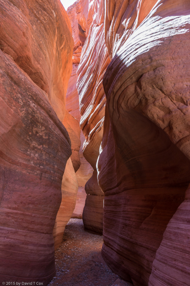
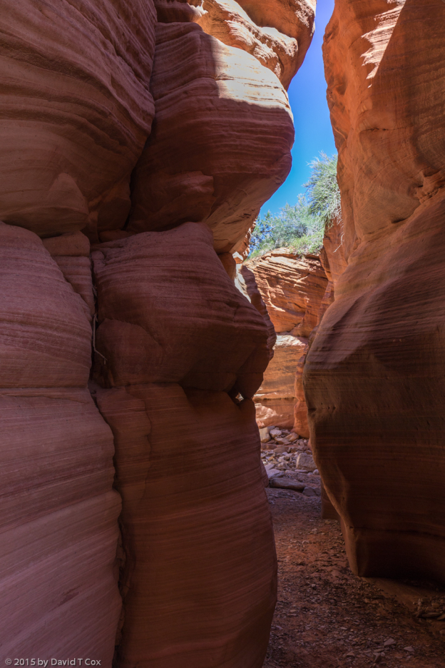
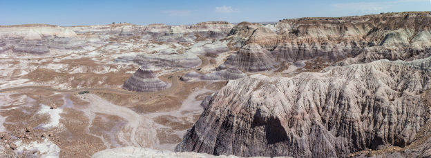
From Kanab I drove back east, down into Arizona to Page, by the Glen Canyon Dam at the southern end of Lake Powell. I had not seen it before, and the lake, although low, set in the dry desert landscape was a visual treat, along with the river gorge below the dam, the mouth of Marble Canyon (which turns into the Grand Canyon some miles downstream as the Colorado enters its cut through the 9,000 ft. Kaibab Plateau). I had desired to photograph the famous Antelope Canyon, a slot canyon on the Navajo Reservation just outside of Page. Although I had heard it had lots of visitors, I was unprepared for the reality. Throughout both days I was there, the entrances both to upper and lower Antelope Canyon were filled with dozens of cars and RVs, with vehicles lined at the little drive-by booths to pay an entrance fee. It was unbelievably depressing, and after two days I gave up the idea in frustration. Perhaps I will visit in the future in the early spring or late fall. I also had visions of fishing on Lake Powell. Checking all the rates for boats and guides, the cheapest was $350 for half a day, which I decided would not allow me to have fun. One interesting feature of Page, the little town sitting squat over the rocky prominence rising above the dam, lies along the main road where it loops a large 180 degree semicircle around the playing field of the local high school. Around the outer edge of this curve sit 8 different churches, large structures, literally side by side, with no other property between. I never have seen so many disparate churches lined up (actually encircled) like this. I saw no church anywhere else in the town. Perhaps this is some strange accident of history (a zoning requirement forcing this situation would be unconstitutional). There was no way to capture the scene in a still photo from the ground – it would require a video shot while traversing the semi-circle.
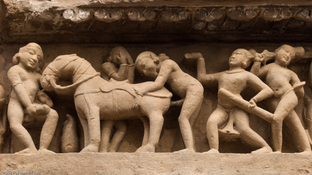
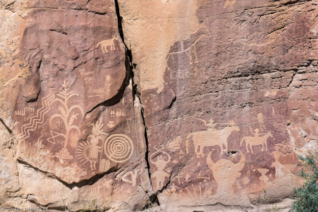
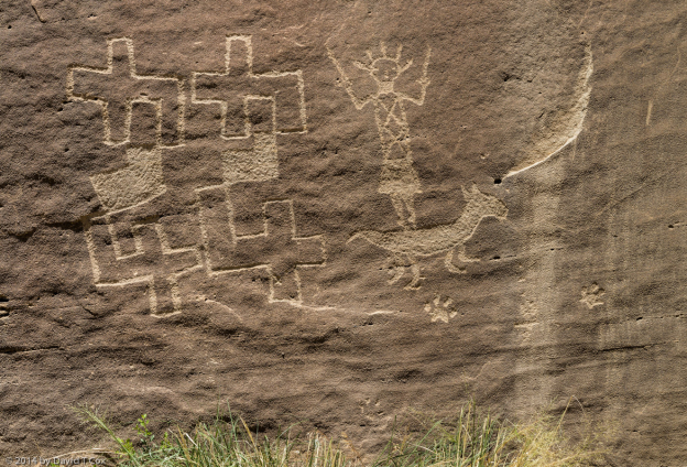
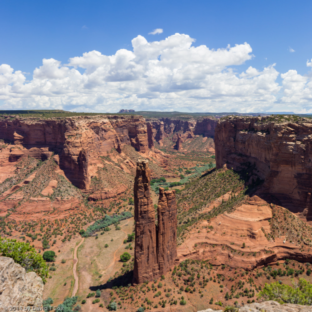
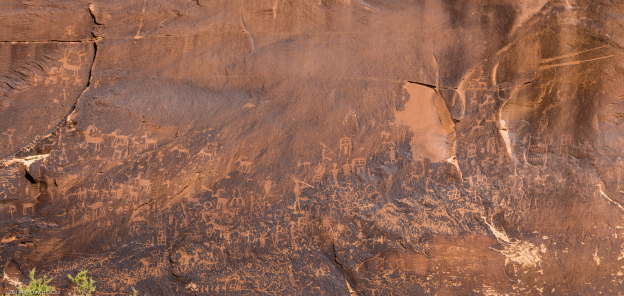
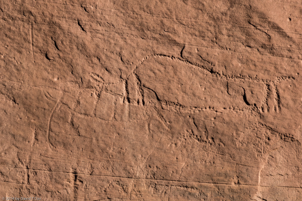
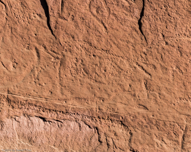
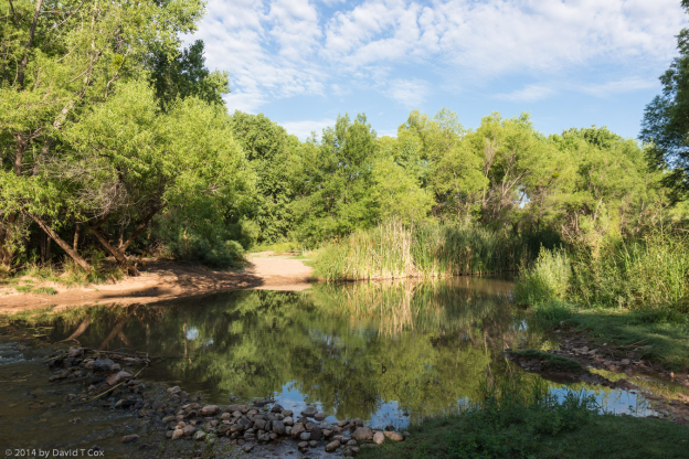
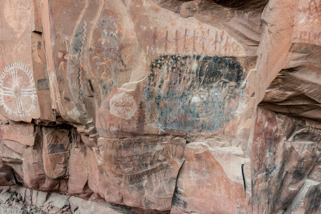
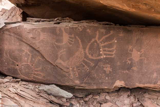
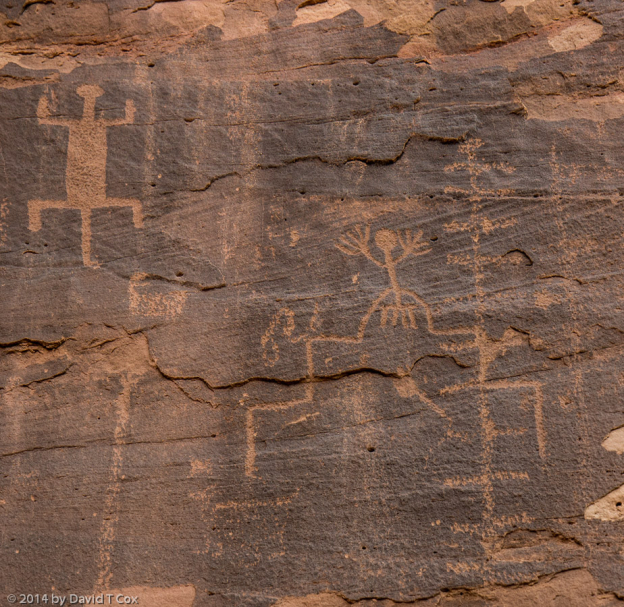
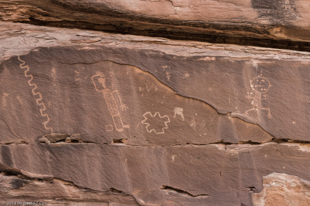
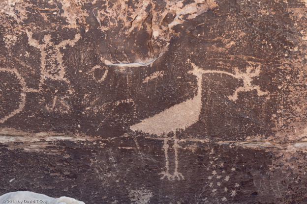
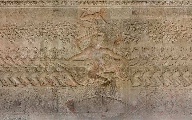
From Page I drove east across the northern part of the Navajo Reservation, south of Navajo Mountain and finally back up into Utah to Bluff on the northern banks of the San Juan River, where I previously have photographed rock art a number of times. I did more of the same, again seeking out what I am convinced are Columbian mammoth petroglyphs along a high panel in the upper Sand Island area. If indeed mammoths, these petroglyphs now are the documented oldest rock art in all the Americas. The reason for saying they are the documented oldest is simple; petroglyphs are notoriously difficult or impossible to date accurately. Columbian Mammoths, however, are known from the fossil record to have become extinct in southern Utah by about 12,000 years ago, and the earliest widely accepted dates for humans in the New World is around 13,500 years ago. That puts a fairly tight constraint on the origin dates of this rock art. No other petroglyphs are known showing such fauna, nor are accepted as anywhere near as old. This may require re-evaluation of similar rock art in this and other areas. As slowly as research progresses now, I expect it will be decades before much more is recorded in this area.
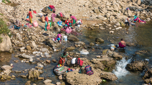
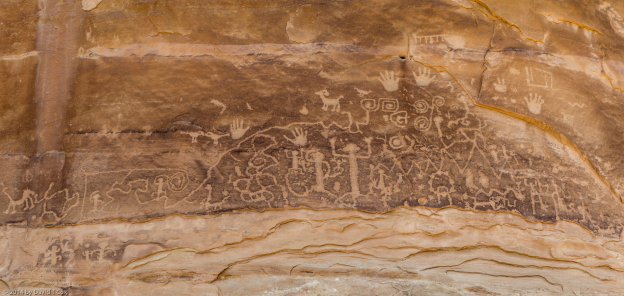
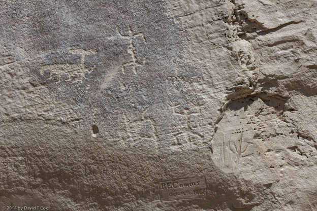
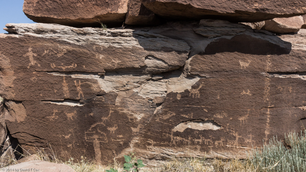
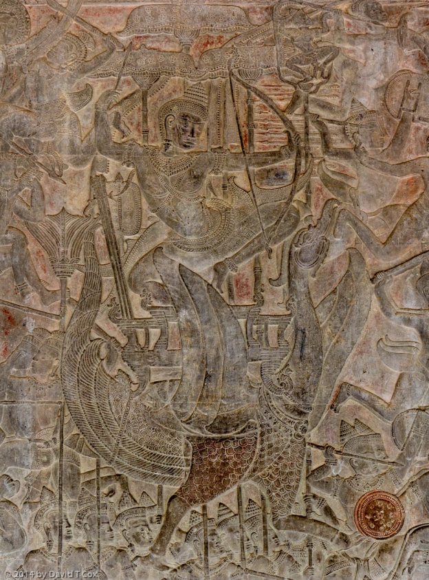
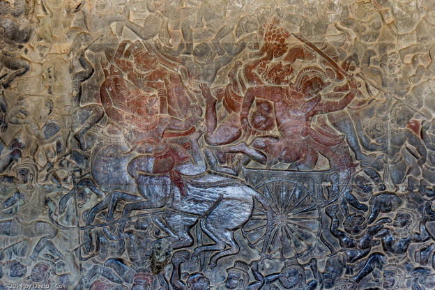
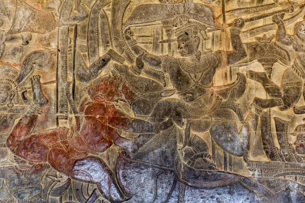
I investigated the location of another petroglyph panel I had heard of locally, and went to hike to it the second day. Unfortunately the area has had record rainfall, and the petroglyph location required crossing the Butler Wash, which was filled with rushing water and thickets of tamarisk and Russian olive, basically impassible – and probably will remain so until a month or two after the end of rainy season. I also inquired about joining one of the float expeditions down the San Juan River, which is the only way to get to the fabulous Butler Wash petroglyph panels (which I previously have photographed); unfortunately, all tours booked for the next several days had large numbers of people, filling the boats – I could fit but would be one of many, with little special opportunity for the photography I wished to do. I did revisit one of my favorites, hiking to the Basketmaker era petroglyph panel known locally as the “Wolfman” panel.
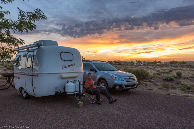
From Bluff, I traveled a short distance following the San Juan upriver and crossed into southwestern Colorado. I’m spending some down-time in Dolores, just north of Cortez, and the heartland of the ancient Anasazi agricultural population centers. One advantage of down-time in Dolores is that it has one of the better microbreweries around, the Dolores River Brewery. Their ESB is especially good, and I have visited no other brewpub that brews it (I used to drink it on tap in Phoenix, imported from England – but the crossing often was harsh on the beer).
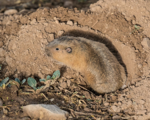
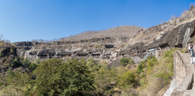
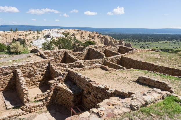
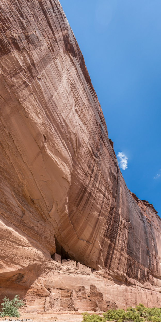
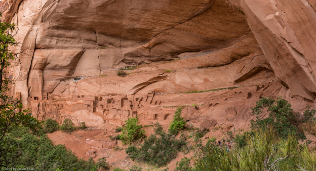
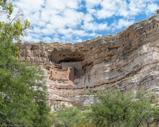
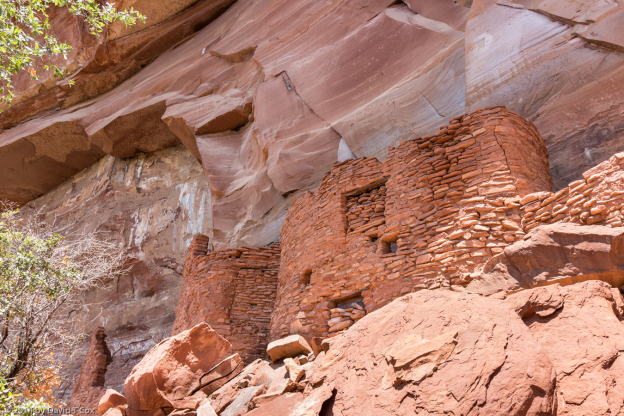
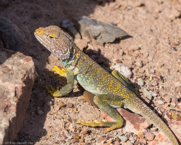
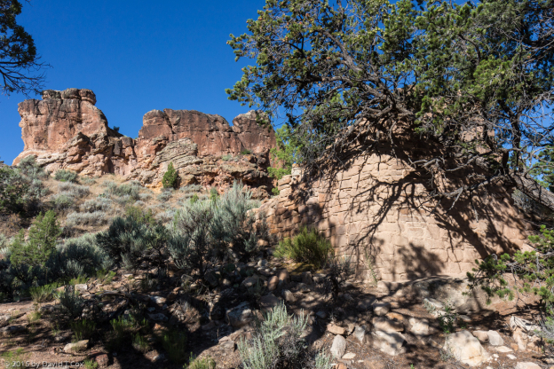
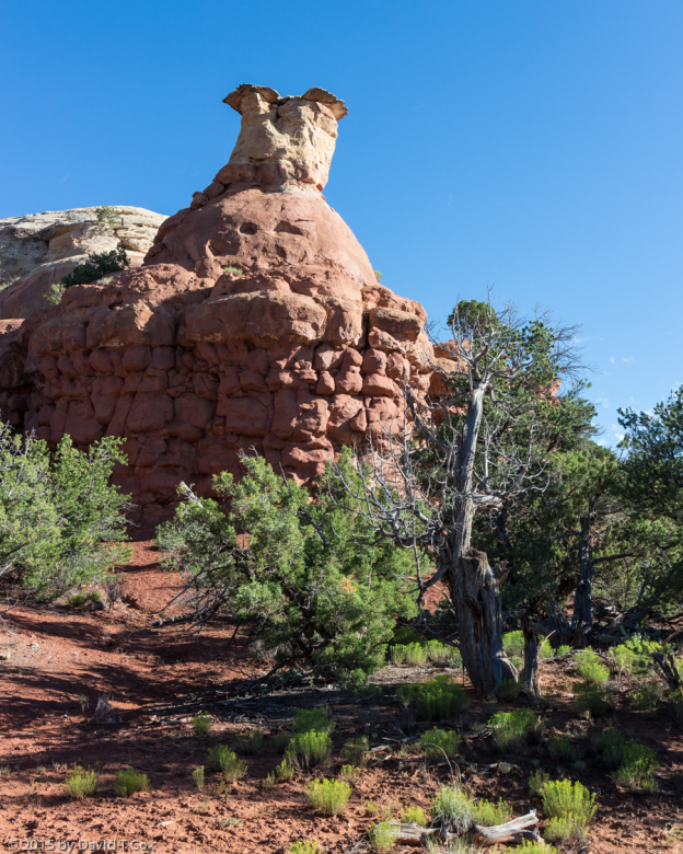
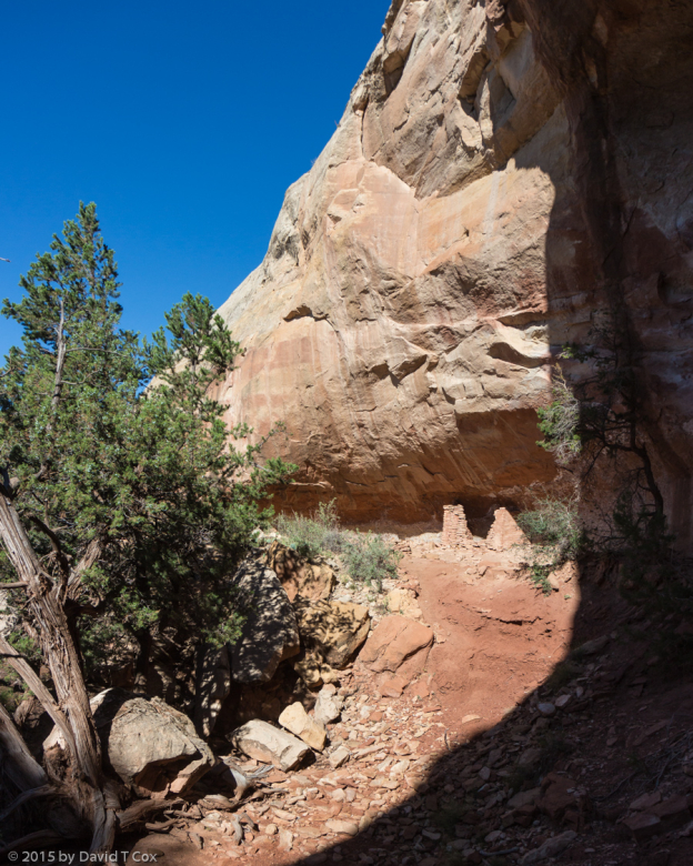
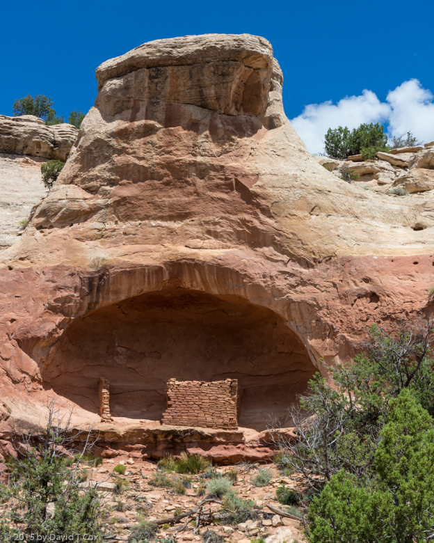
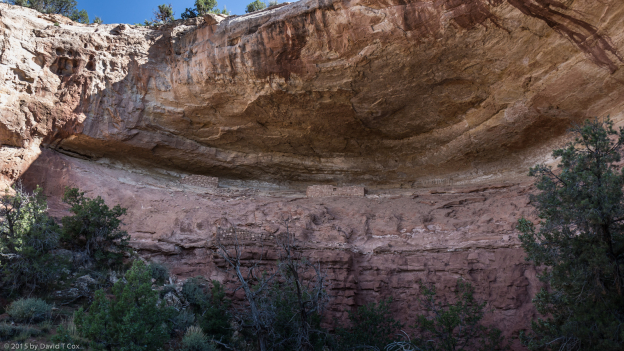
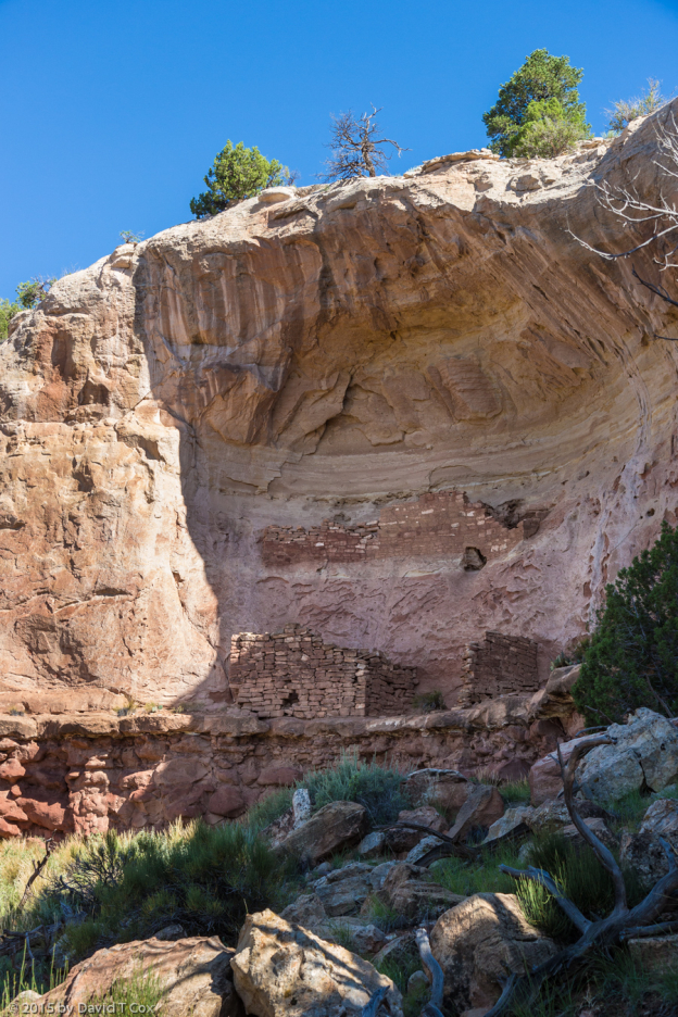
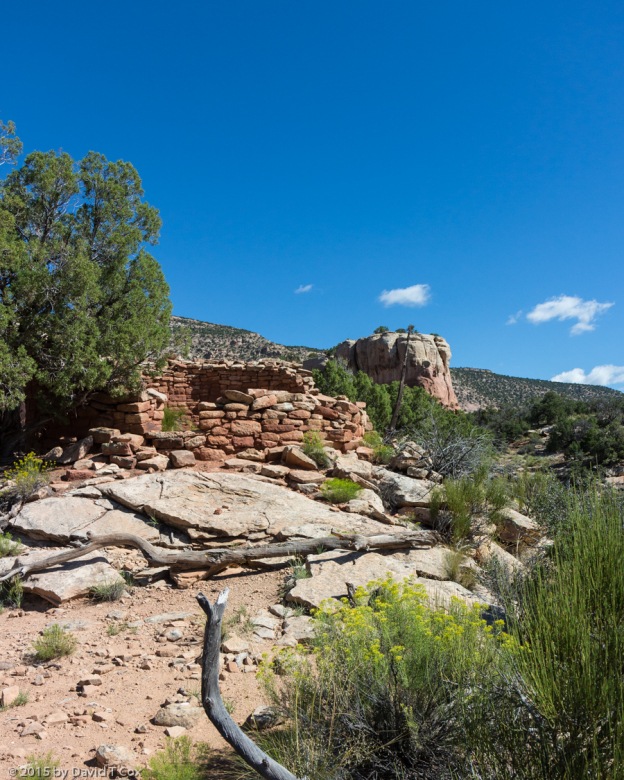
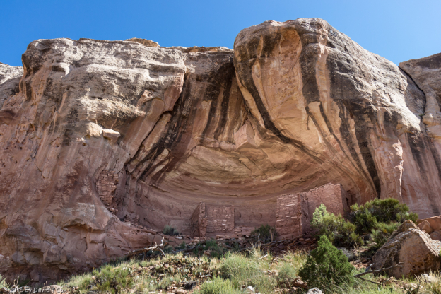
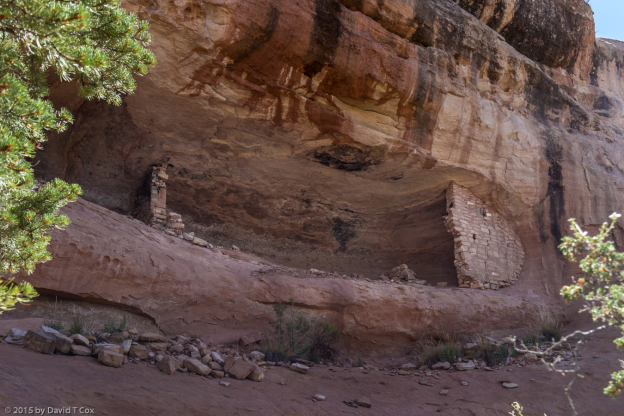
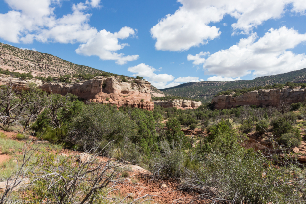
I spent a few slow hours a few days ago at the Anasazi Heritage Center, the BLM museum for the surrounding Canyon of the Ancients. I inquired and learned of some nearby Puebloan sites I have not visited, including the Sand Canyon where a number of small cliff dwellings and pueblos may be found. Two days ago I drove to the north side of Sleeping Ute Mountain, to the mouth of Sand Canyon, and spent 5 hours hiking roughly 10 miles total trip through the canyon, photographing 7 small cliff dwellings strung along the upper canyon walls, as well as a small ground pueblo room and the remains of a round tower built over a small precipice. They were built and occupied chiefly during the 12th and 13th Centuries. Most have been given wonderful names, some translated from local native dialects, such as “House with Standing Curved Wall” and “Corncob House.” Although these Puebloan ruins don’t compare with the great cliff dwellings of sites like Mesa Verde and Betatakin, they have the huge advantage of loneliness. I wandered in spectacular scenery, discovering the dwellings one at a time, and never saw or heard another human all day. That is worth, to me, a great deal. My legs were dead at the end of the hike, being somewhat out-of-shape for challenging rough rocky country (carrying a 10lb pack and 7 ½ lbs. of cameras around my neck didn’t help) – the sole of my right foot actually acquired some bruising, despite good hiking boots and wool socks; I clearly need to toughen up with more hiking. As I have not engaged in a lot of other photography since my last report (other than petroglyph rock art), I have included a photo of each of the charming little Puebloan ruins in Sand Canyon, in the order in which I discovered them from south to north.
I have no idea where I may head or what I may do next. I would like to get up to the Great Lakes, but it is such a long drive. Perhaps I will again head up through Wyoming and Montana, which really is some of my favorite part of the country. Later. Dave
-
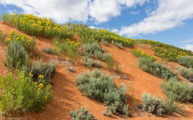
- Coral Pink Sand Dunes St. Park, Rough Mulesears (yellow flowers) & Sage , UT
-
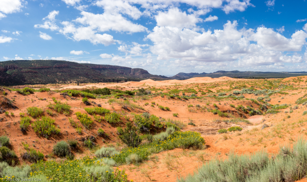
- Coral Pink Sand Dunes St. Park, panorama 3, Rough Mulesears (yellow flowers) & sage, UT
-
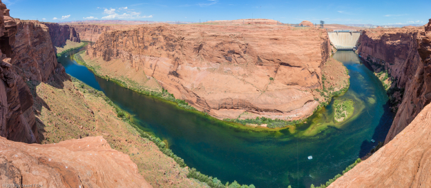
- Glen Canyon Dam & Colorado River Pano 2, Page, AZ
-
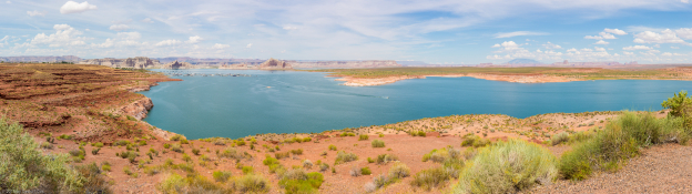
- Lake Powell pano 4, Page, AZ
-
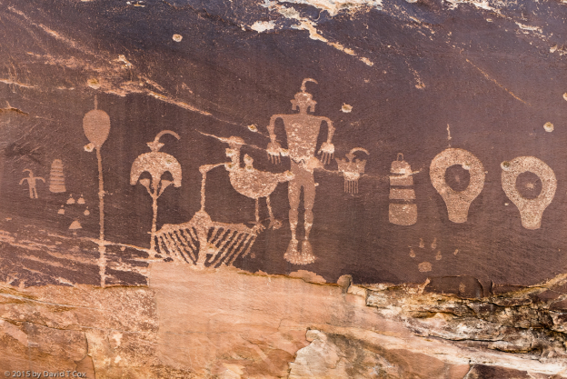
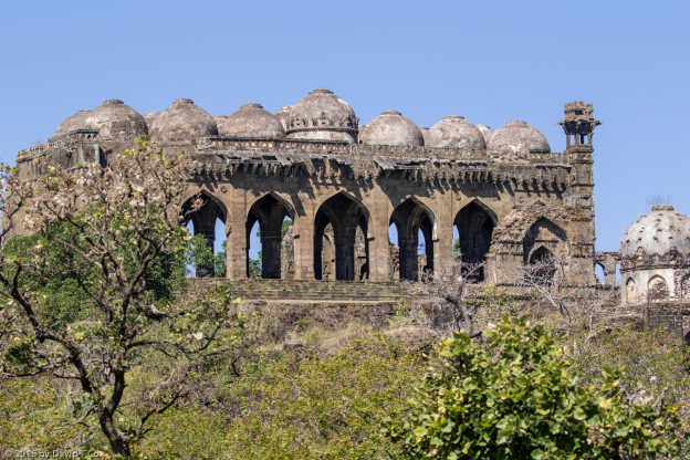
- Wolfman right Panel Pano 3, Butler Wash, Bluff, Utah
-
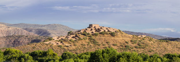
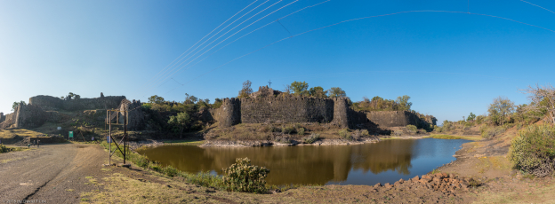
- Castle Rock Pueblo, Anasazi, Sand Canyon entrance, Canyon of the Ancients, CO
-
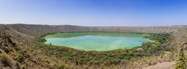
- Sand Canyon scene, Canyon of the Ancients, CO
-
- unnamed Pueblo south of Saddlehorn Pueblo, Anasazi, Sand Canyon, Canyon of the Ancients, CO
-
- Saddlehorn Pueblo, Anasazi 1250-1285, Sand Canyon, Canyon of the Ancients, CO
-
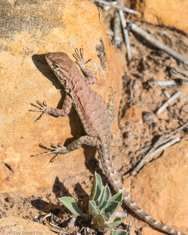
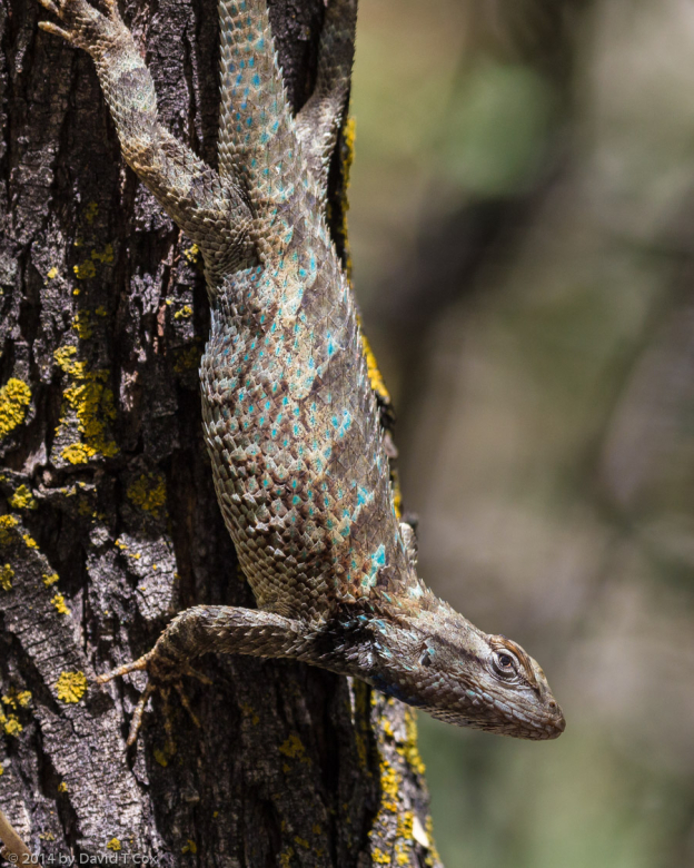
- Sagebrush Lizard prob?, Sand Canyon trail, Canyon of Ancients, COCO
-
- Corncob House, Anasazi 13th C, Sand Canyon, Canyon of the Ancients, CO
-
- Double Cliff House, Anasazi 13th C, Sand Canyon, Canyon of the Ancients, CO
-
- round tower, Anasazi, Sand Canyon, Canyon of the Ancients, CO
-
- Sunny Alcove, Anasazi, Sand Canyon, Canyon of the Ancients, CO
-
- Wall Curves with Bedrock House, Anasazi 12th-13th C, Sand Canyon, Canyon of the Ancients, CO
-
- Sand Canyon scene, Canyon of the Ancients, CO
-
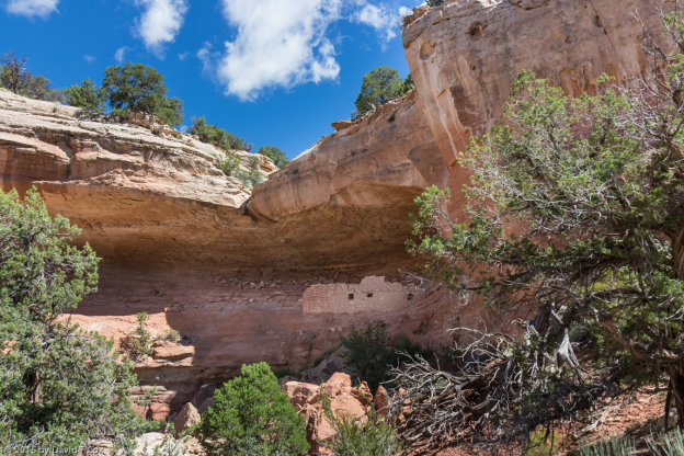
- House with Standing Curved Wall, Anasazi, Sand Canyon, Canyon of the Ancients, CO
-
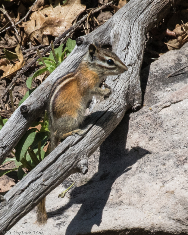
- Uinta Chipmunk, San Juan Nat Forest above Dolores, CO
-
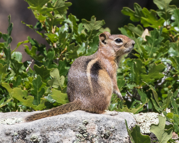
- Golden mantled Ground Squirrel, San Juan Nat Forest above Dolores, CO
-
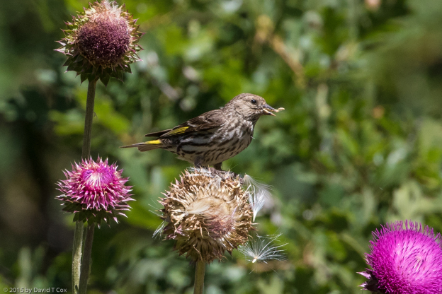
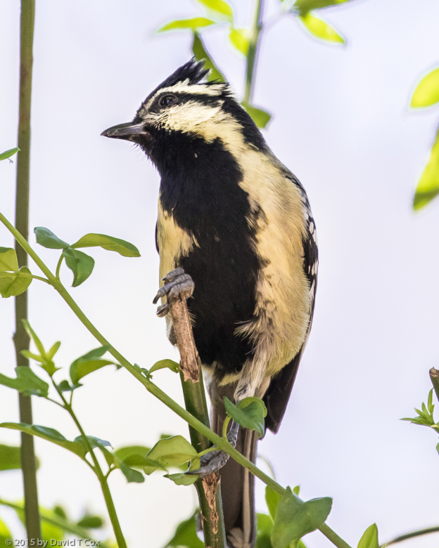
- Pine Siskin, San Juan Nat Forest above Dolores, CO